Large airport · Iran

Mashhad International AirportOIMM
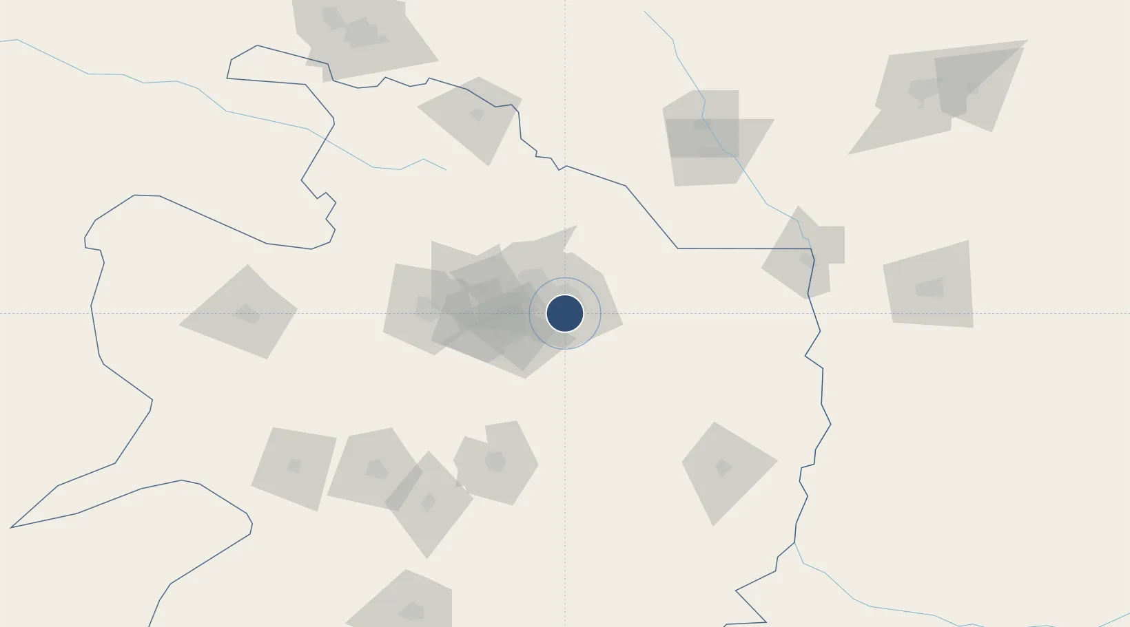
36.2348°, 59.6429°
12,877 ft
Longest runway
2
Runways
3,263 ft
Elevation

Runway & Layout

Mashhad International Airport runway & taxiway layout
Runway & taxiway layout — OpenStreetMap (ODbL) / OurAirports

Radio Frequencies

ATIS
126.4 MHz
TWR
118.1 MHz
APP
127.3 MHz
OurAirports

Navaids

MSD TACAN Mashhad 111.90 MHz
MSD VOR-DME Mashhad 114.00 MHz
MSD NDB Mashhad 385 kHz
OurAirports

Runways · 2

RunwayDimensions SurfaceTrue headingLit
13R/31L 12,877 × 148ft Asphalt 134°
13L/31R 12,503 × 148ft Asphalt 134°
OurAirports

Airport Specifications

IATA code
MHD
OurAirports
ICAO code
OIMM
OurAirports
Airport class
Large airport
OurAirports
Scheduled service
Yes
OurAirports
Runway surface
Asphalt
OurAirports
Served city
Mashhad
OurAirports

Location

Location of OIMM
Natural Earth 10m (public domain) · Razavi Khorasan · OIMM · 36.23, 59.64GoogleOSMYandex

Nearby Logistics Neighbours

Airports
  1. 1Sarakhs Airport131 km
  2. 2Sabzevar National Airport184 km
  3. 3Ashgabat International Airport226 km
  4. 4Ashgabat Bezmein Air Base236 km
  5. 5Bojnord Airport250 km
Nearest neighbours — logibook spatial index (haversine) over the source coordinates
Cities
  1. 1Kaka124 km
  2. 2Tejen146 km
  3. 3Altyn Asyr216 km
  4. 4Ashgabat221 km
  5. 5Büzmeyin239 km
Nearest neighbours — logibook spatial index (haversine) over the source coordinates
Ports
  1. 1Jazireh-Ye Hormoz1060 km
  2. 2Bandar Abbas1061 km
  3. 3Bandar-E Shahid Rejaie1070 km
  4. 4Bushehr1153 km
  5. 5Khawr Khasab1160 km
Nearest neighbours — logibook spatial index (haversine) over the source coordinates
Trade Zones
  1. 1Sarakhs Special Economic Zone139 km
  2. 2Atrak Special Economic Zone140 km
  3. 3Sabzevar Special Economic Zone178 km
  4. 4Dogharoon Special Economic Zone210 km
  5. 5Bojnord Special Economic Zone250 km
Nearest neighbours — logibook spatial index (haversine) over the source coordinates
DatabookThe Record of Consolidated Knowledge
Iran beyond logistics?
Browse databook

All Sources

AirportsOurAirports
Public domain
Portsthe NGA World Port Index
Public domain (US gov)
LocationsUN/LOCODE
UN/LOCODE — free
Trade Zonesthe World Bank SEZ database
CC BY 4.0
Trade ZonesOpen Zone Map
CC BY
InfrastructureOpenStreetMap
ODbL 1.0
← Iran airports