Seaport · Iran

BushehrIRBUZ

28.9833°, 50.8333°
6.4 m
Channel depth
15.6
Port liner connectivity
Bushehr is also a UN/LOCODE logistics hub →

Channel & Berth Profile

SEA LEVEL (CD)CHANNEL BEDChannel · 6.4 mOil terminal · 6.4 mCargo pier · 7.9 mAnchorage · 12.5 m
NGA World Port Index

Pilotage, Tugs & Services

Pilotage compulsoryYES
Pilotage availableYES
Tug assistanceYES
Potable waterYES
Diesel bunkersYES
MedicalYES
Garbage disposalYES
NGA World Port Index

Facilities & Capabilities

Container
Ro-Ro
Liquid bulk
Dry bulk
Oil terminal
Break bulk
Dry dock
RepairsNO
BunkeringYES
Rail link
Dangerous cargo
ISPS security
NGA World Port Index

Harbour Specifications

Harbour size
Medium
NGA World Port Index
Harbour type
Coastal (Natural)
NGA World Port Index
Shelter
Fair
NGA World Port Index
Water body
Persian Gulf; Indian Ocean
NGA World Port Index
Tidal range
1 m
NGA World Port Index
Overhead limit
Yes
NGA World Port Index
Pilotage
Yes
NGA World Port Index

Liner Connectivity

15.6
PLSCI

Port Liner Shipping Connectivity Index for Bushehr, as published by UNCTAD for the latest available quarter. Higher values indicate stronger scheduled liner-shipping integration.

Shown relative to the highest per-port PLSCI in the dataset (1,657.9).
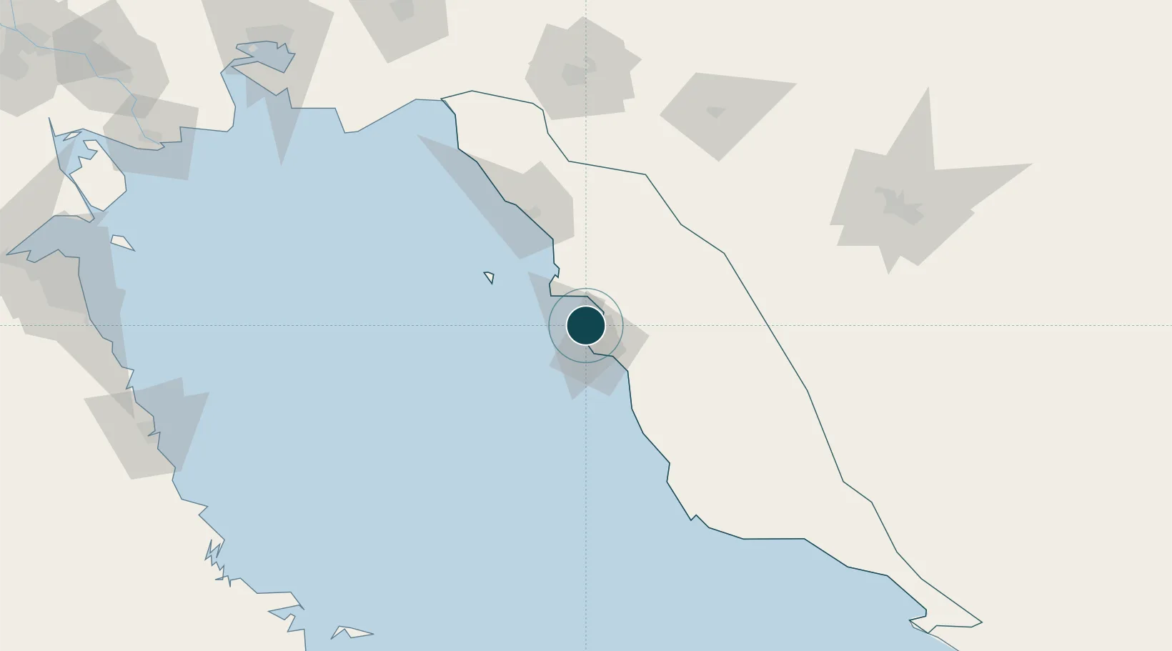
UNCTAD · Port Liner Shipping Connectivity Index

Location

Location of IRBUZ
Natural Earth 10m (public domain) · Bushehr · IRBUZ · 28.98, 50.83GoogleOSMYandex

Nearby Logistics Neighbours

Ports
  1. 1Kharg Island Oil Terminal56 km
  2. 2Sirus Oil Terminal131 km
  3. 3Al-Basra Oil Terminal210 km
  4. 4Khawr Al Amaya216 km
  5. 5Ras Al Khafji228 km
Nearest neighbours — logibook spatial index (haversine) over the source coordinates
Cities
  1. 1Borazjan46 km
  2. 2Soroosh (Cyrus) Terminal133 km
  3. 3Ganaveh163 km
  4. 4Dayyer167 km
  5. 5Sarooj Anchorage190 km
Nearest neighbours — logibook spatial index (haversine) over the source coordinates
Airports
  1. 1Bushehr Airport4 km
  2. 2Khark Airport58 km
  3. 3Gachsaran Airport150 km
  4. 4Shiraz Shahid Dastghaib International Airport181 km
  5. 5Jam Airport197 km
Nearest neighbours — logibook spatial index (haversine) over the source coordinates
Trade Zones
  1. 1Bushehr Port12 km
  2. 2Bushehr Special Economic Zone12 km
  3. 3Kazarun Kazeroon Special Economic Zone104 km
  4. 4Bushehr Northern Special Economic Zone108 km
  5. 5Shiraz Special Economic Zone180 km
Nearest neighbours — logibook spatial index (haversine) over the source coordinates
DatabookThe Record of Consolidated Knowledge
Iran beyond logistics?
Browse databook

All Sources

Portsthe NGA World Port Index
Public domain (US gov)
Logistics performanceUNCTAD
CC BY 3.0 IGO
AirportsOurAirports
Public domain
LocationsUN/LOCODE
UN/LOCODE — free
Trade Zonesthe World Bank SEZ database
CC BY 4.0
Trade ZonesOpen Zone Map
CC BY
← Iran ports