Medium airport · Turkmenistan

Ashgabat Bezmein Air BaseUT1G
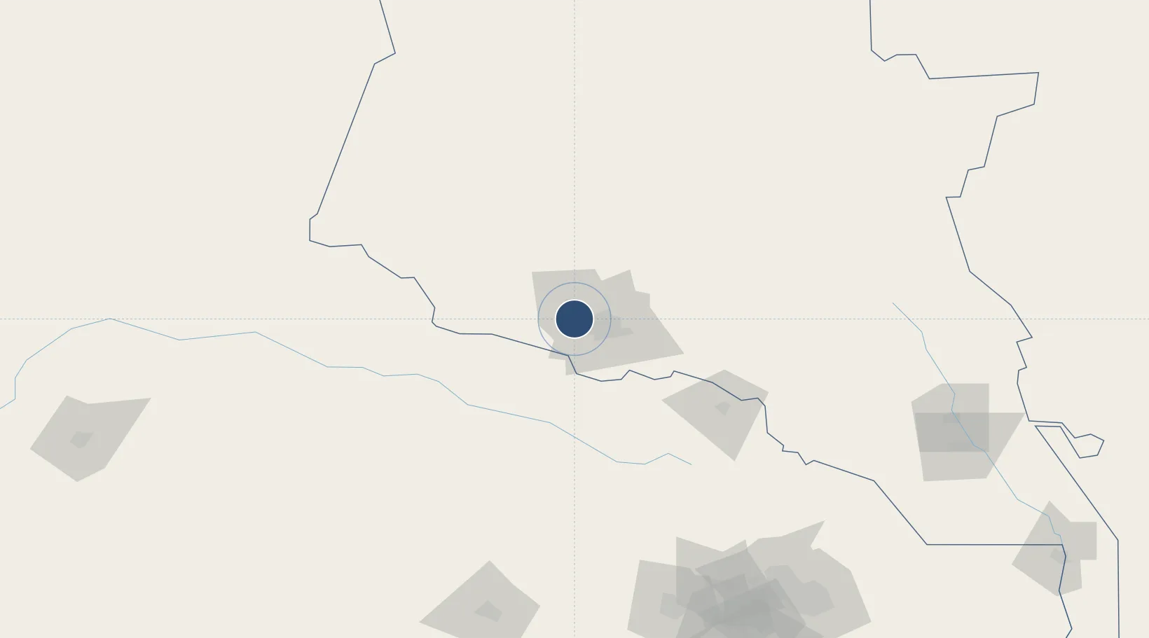
38.0120°, 58.1950°
8,665 ft
Longest runway
1
Runways
920 ft
Elevation

Runway & Layout

Ashgabat Bezmein Air Base runway & taxiway layout
Runway & taxiway layout — OpenStreetMap (ODbL) / OurAirports

Runways · 1

RunwayDimensions SurfaceTrue headingLit
15/33 8,665 × 148ft Concrete 153°
OurAirports

Airport Specifications

Airport class
Medium airport
OurAirports
Scheduled service
No
OurAirports
Runway surface
Concrete
OurAirports
Served city
Ashgabat
OurAirports

Location

Location of UT1G
Natural Earth 10m (public domain) · Ahal · UT1G · 38.01, 58.20GoogleOSMYandex

Nearby Logistics Neighbours

Airports
  1. 1Ashgabat International Airport15 km
  2. 2Bojnord Airport97 km
  3. 3Sabzevar National Airport212 km
  4. 4Mashhad International Airport236 km
  5. 5Sarakhs Airport305 km
Nearest neighbours — logibook spatial index (haversine) over the source coordinates
Cities
  1. 1Büzmeyin4 km
  2. 2Ashgabat18 km
  3. 3Altyn Asyr21 km
  4. 4Bäherden83 km
  5. 5Kaka144 km
Nearest neighbours — logibook spatial index (haversine) over the source coordinates
Ports
  1. 1Bandar-E Mahshahr1178 km
  2. 2Bandar Khomeyni1187 km
  3. 3Bushehr1213 km
  4. 4Kharg Island Oil Terminal1217 km
  5. 5Khorramshahr1247 km
Nearest neighbours — logibook spatial index (haversine) over the source coordinates
Trade Zones
  1. 1Bojnord Special Economic Zone97 km
  2. 2Atrak Special Economic Zone102 km
  3. 3Sabzevar Special Economic Zone205 km
  4. 4Sarakhs Special Economic Zone308 km
  5. 5Damghan Special Economic Zone400 km
Nearest neighbours — logibook spatial index (haversine) over the source coordinates
DatabookThe Record of Consolidated Knowledge
Turkmenistan beyond logistics?
Browse databook

All Sources

AirportsOurAirports
Public domain
Portsthe NGA World Port Index
Public domain (US gov)
LocationsUN/LOCODE
UN/LOCODE — free
Trade Zonesthe World Bank SEZ database
CC BY 4.0
Trade ZonesOpen Zone Map
CC BY
InfrastructureOpenStreetMap
ODbL 1.0
← Turkmenistan airports