UN/LOCODE hub · Turkmenistan
TMAGT
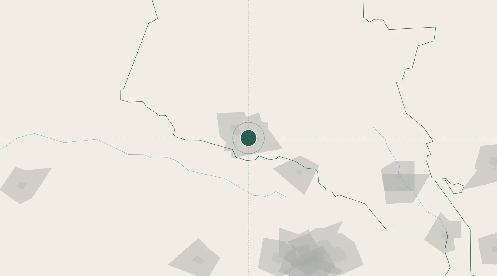
Ashgabat
37.9500°, 58.3833°
727,700
Population
2
Transport functions
Transport Functions
Rail
Multimodal
Hub Profile
Place type
National capital
Region
Ashgabat
Population
727,700
Time zone
Asia/Ashgabat
Elevation
219 m
Location
Nearby Logistics Neighbours
Cities
- 1Altyn Asyr8 km
- 2Büzmeyin20 km
- 3Bäherden100 km
- 4Kaka126 km
- 5Tejen196 km
Ports
- 1Bandar-E Mahshahr1185 km
- 2Bandar Khomeyni1195 km
- 3Bushehr1217 km
- 4Bandar Abbas1218 km
- 5Jazireh-Ye Hormoz1220 km
Airports
- 1Ashgabat International Airport5 km
- 2Ashgabat Bezmein Air Base18 km
- 3Bojnord Airport107 km
- 4Sabzevar National Airport210 km
- 5Mashhad International Airport221 km
Trade Zones
DatabookThe Record of Consolidated Knowledge
Turkmenistan beyond logistics?