Transport Functions
Rail
Road
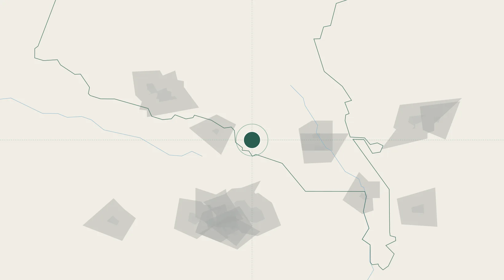
Hub Profile
Place type
Populated place
Region
Ahal
Population
18,545
Time zone
Asia/Ashgabat
Elevation
290 m
Location
Nearby Logistics Neighbours
Cities
- 1Tejen78 km
- 2Altyn Asyr124 km
- 3Ashgabat126 km
- 4Büzmeyin146 km
- 5Murgap210 km
Ports
- 1Jazireh-Ye Hormoz1177 km
- 2Bandar Abbas1178 km
- 3Bandar-E Shahid Rejaie1187 km
- 4Bandar-E Mahshahr1227 km
- 5Bushehr1236 km
Airports
- 1Mashhad International Airport124 km
- 2Ashgabat International Airport130 km
- 3Ashgabat Bezmein Air Base144 km
- 4Sarakhs Airport161 km
- 5Mary North Airport200 km
Trade Zones
DatabookThe Record of Consolidated Knowledge
Turkmenistan beyond logistics?