Channel & Berth Profile
Pilotage, Tugs & Services
Pilotage compulsoryYES
Pilotage advisableYES
Tug assistanceYES
Salvage tugsYES
Potable waterNO
Diesel bunkersYES
MedicalYES
Garbage disposalYES
Facilities & Capabilities
Container—
Ro-Ro—
Liquid bulk—
Dry bulk—
Oil terminal—
Break bulk—
Dry dock—
RepairsNO
BunkeringYES
Rail link—
Dangerous cargo—
ISPS security—
Harbour Specifications
Harbour size
Small
Harbour type
Open Roadstead
Shelter
Good
Water body
Persian Gulf; Indian Ocean
Tidal range
2 m
Pilotage
Yes
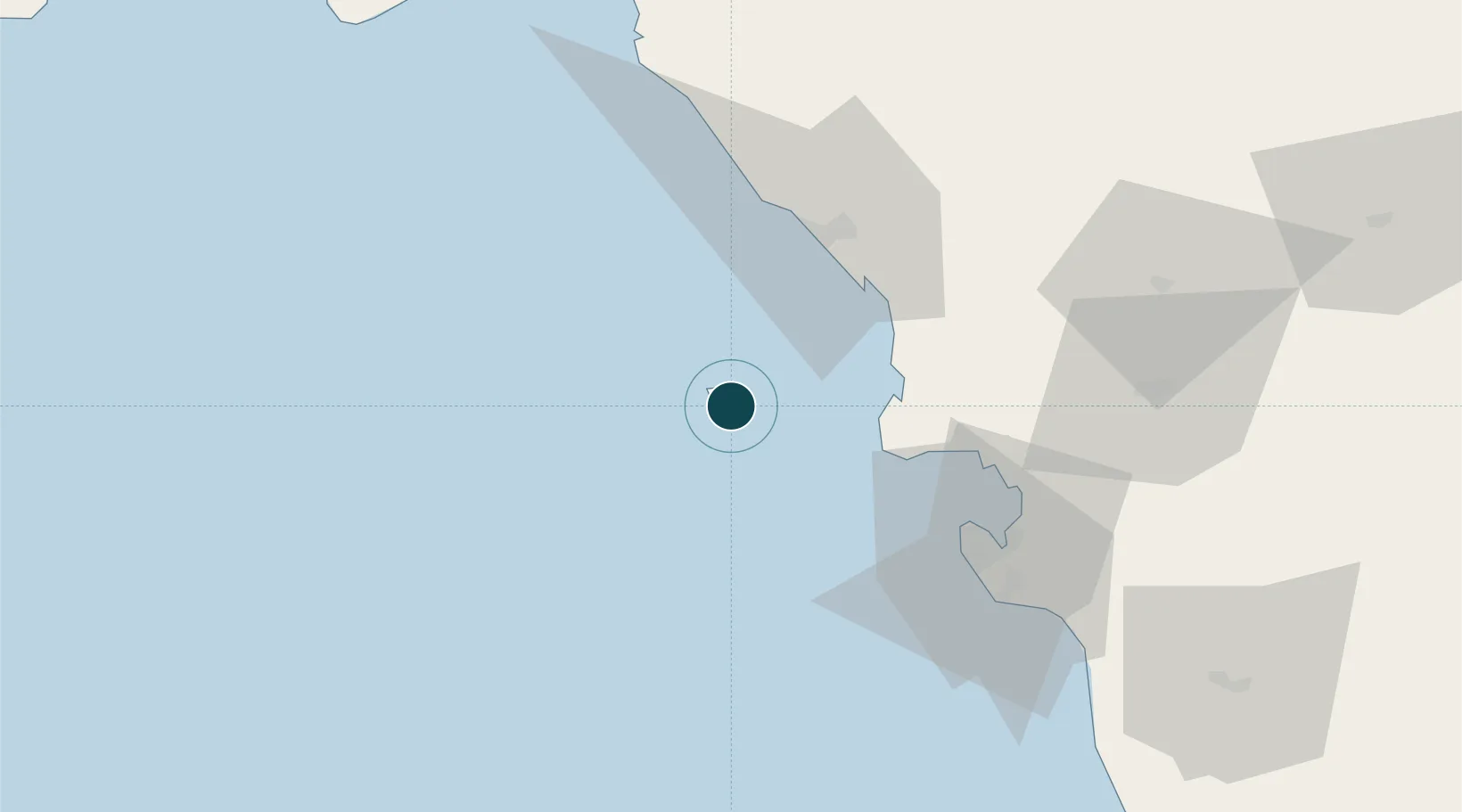
Location
Nearby Logistics Neighbours
Ports
- 1Bushehr56 km
- 2Sirus Oil Terminal86 km
- 3Al-Basra Oil Terminal155 km
- 4Khawr Al Amaya161 km
- 5Bandar-E Mahshahr176 km
Cities
- 1Bushehr57 km
- 2Borazjan84 km
- 3Soroosh (Cyrus) Terminal87 km
- 4Ganaveh144 km
- 5Basrah Oil Terminal156 km
Airports
- 1Khark Airport3 km
- 2Bushehr Airport58 km
- 3Gachsaran Airport132 km
- 4Aghajari Airport180 km
- 5Mahshahr Airport186 km
Trade Zones
DatabookThe Record of Consolidated Knowledge
Iran beyond logistics?