Export Processing Zone · Iran

Sarakhs Special Economic Zone Active
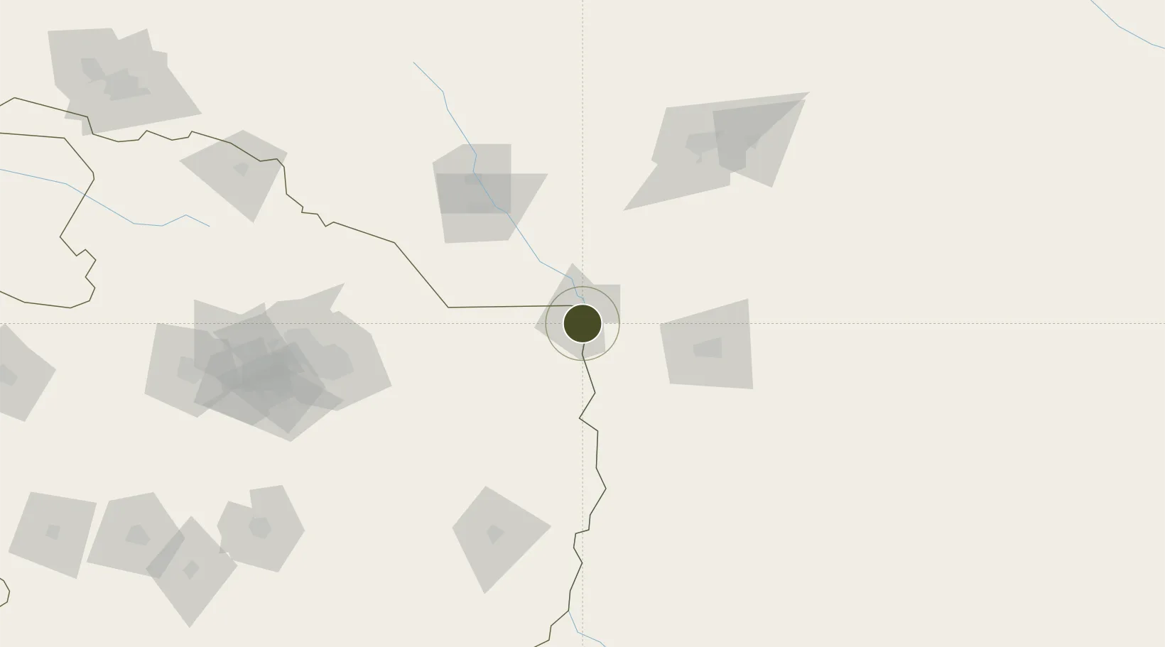
36.5401°, 61.1494°
5,290 ha
Zone area
1,139.3 km
Nearest port
8.7 km
Nearest airport

Gateway access

Nearest neighbours — logibook spatial index (haversine) over the source coordinates

Zone profile

Zone type
Export Processing Zone
Open Zone Map
Region
Razavi Khorasan
Open Zone Map
Status
Active
Open Zone Map
Management
Private
Open Zone Map
Operator
Astan Qods Razavi
Open Zone Map
Legal framework
Law of Establishment and Administration of Special Economic Zones of Islamic Republic of Iran
Open Zone Map

Location

Location of ozm-2517
Natural Earth 10m (public domain) · Razavi Khorasan · ozm-2517 · 36.54, 61.15GoogleOSMYandex

Nearby Logistics Neighbours

Ports
  1. 1Jazireh-Ye Hormoz1139 km
  2. 2Bandar Abbas1144 km
  3. 3Bandar-E Shahid Rejaie1154 km
  4. 4Khawr Khasab1239 km
  5. 5Bushehr1278 km
Nearest neighbours — logibook spatial index (haversine) over the source coordinates
Airports
  1. 1Sarakhs Airport9 km
  2. 2Mary International Airport138 km
  3. 3Mary North Airport139 km
  4. 4Mashhad International Airport139 km
  5. 5Herat - Khwaja Abdullah Ansari International Airport277 km
Nearest neighbours — logibook spatial index (haversine) over the source coordinates
Cities
  1. 1Tejen109 km
  2. 2Murgap128 km
  3. 3Yolöten136 km
  4. 4Bayramaly150 km
  5. 5Kaka165 km
Nearest neighbours — logibook spatial index (haversine) over the source coordinates
Trade Zones
  1. 1Toraghundi Special Economic Zone176 km
  2. 2Dogharoon Special Economic Zone204 km
  3. 3Atrak Special Economic Zone242 km
  4. 4Herat Special Economic Zone Special Economic Zone277 km
  5. 5Sabzevar Special Economic Zone314 km
Nearest neighbours — logibook spatial index (haversine) over the source coordinates
DatabookThe Record of Consolidated Knowledge
Iran beyond logistics?
Browse databook

All Sources

Trade ZonesOpen Zone Map
CC BY
Portsthe NGA World Port Index
Public domain (US gov)
AirportsOurAirports
Public domain
LocationsUN/LOCODE
UN/LOCODE — free
← Iran trade zones