Transport Functions
Port
Hub Profile
Region
JI
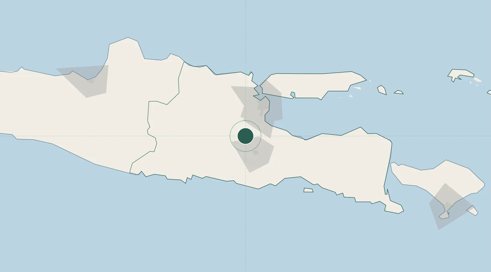
Location
Nearby Logistics Neighbours
Cities
- 1Mojosari25 km
- 2Purwosari26 km
- 3Mojokerto31 km
- 4Jombang36 km
- 5Pasuruan, Java46 km
Ports
- 1Surabaya65 km
- 2Gresik67 km
- 3Probolinggo79 km
- 4Tuban118 km
- 5Poleng Oil Field129 km
Airports
- 1Abdul Rachman Saleh Airport32 km
- 2Juanda International Airport51 km
- 3Dhoho International Airport61 km
- 4Notohadinegoro Airport143 km
- 5Adisumarmo Airport194 km
Trade Zones
DatabookThe Record of Consolidated Knowledge
Indonesia beyond logistics?