Free Trade Zone · Palau
National Capitol Complex Tax Free Zone Active
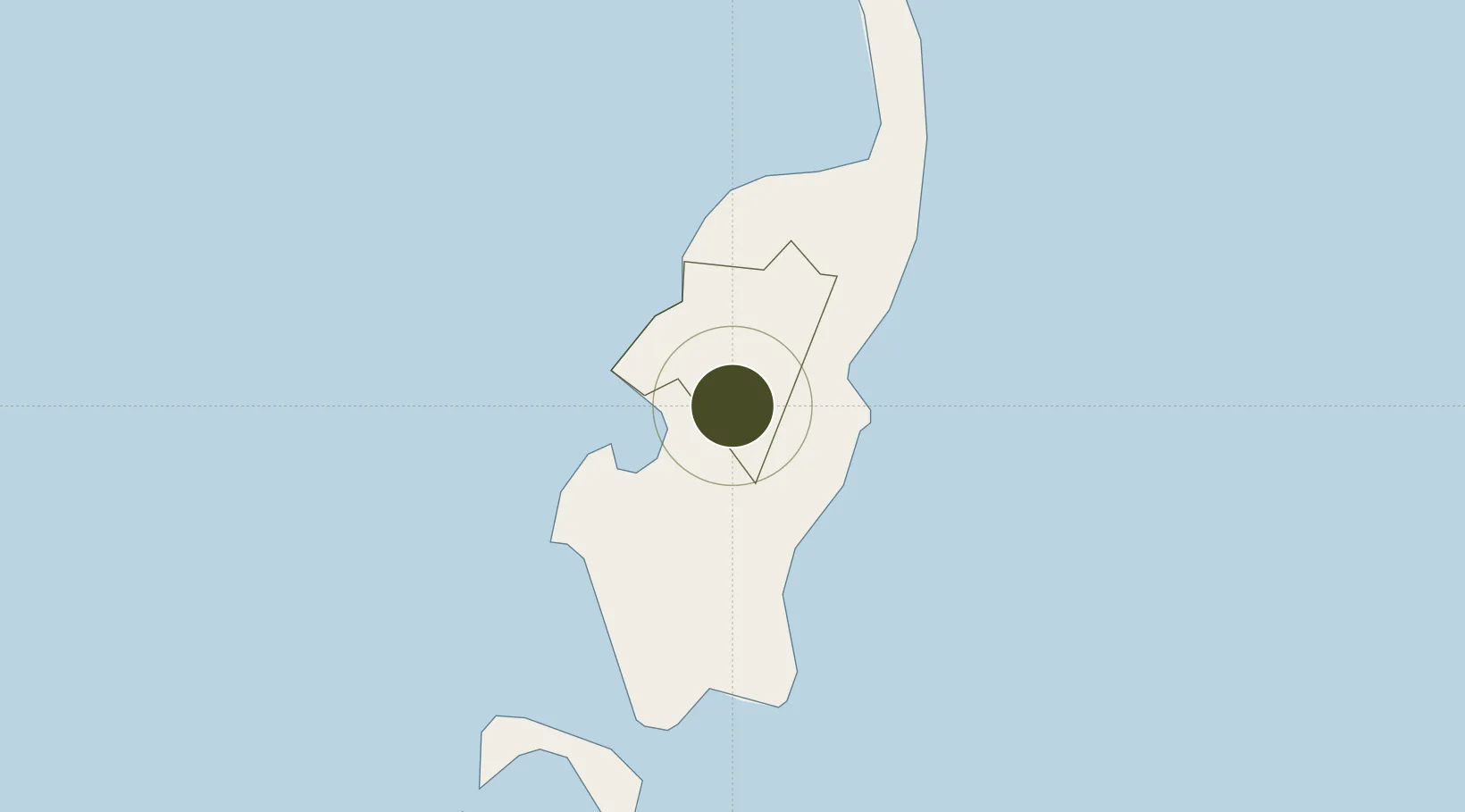
7.5111°, 134.5700°
1 ha
Zone area
912.0 km
Nearest port
16.3 km
Nearest airport
Gateway access
Zone profile
Zone type
Free Trade Zone
Region
Ngeremlengui
Status
Active
Management
Public
Operator
Melekeok State Government
Legal framework
The Free Trade Zone Act of 2003
Location
Nearby Logistics Neighbours
Ports
- 1Hinatuan912 km
- 2Mangagoy913 km
- 3Mati924 km
- 4Manokwari Road933 km
- 5Davao989 km
Airports
- 1Roman Tmetuchl International Airport16 km
- 2Yap International Airport445 km
- 3Bislig Airport912 km
- 4Mati National Airport917 km
- 5Werur Airport921 km
Cities
- 1Sorol Atoll644 km
- 2Mapia Island738 km
- 3Boston/Davao907 km
- 4Aras Asan/Bislig923 km
- 5Marihatag, Mindanao923 km
Trade Zones
- 1Ngardmau Free Trade Zone10 km
- 2A57 Techno Park918 km
- 3KEK Morotai919 km
- 4The Kopiat Island Resort Project964 km
- 5Hijo Tourism Economic Zone966 km
DatabookThe Record of Consolidated Knowledge
Palau beyond logistics?