Specialized Zone · India
Apiic Ltd. Active
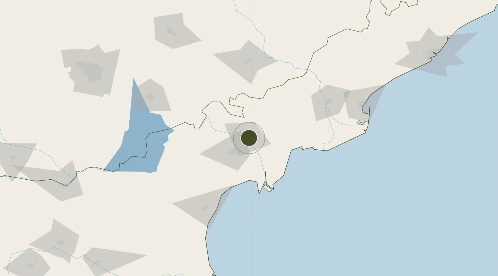
16.5035°, 80.6654°
1,032 ha
Zone area
184.3 km
Nearest port
15.2 km
Nearest airport
Gateway access
Zone profile
Zone type
Specialized Zone
Specialization
Manufacturing
Region
Andhra Pradesh
Status
Active
Management
Public-Private Partnership
Operator
Andhra Pradesh Industrial Infrastructure Corporation Ltd.
Legal framework
Andhra Pradesh Bill No. 51 of 2005
Location
Nearby Logistics Neighbours
Ports
- 1Kakinada Bay184 km
- 2Kattupalli Port257 km
- 3Gangavaram302 km
- 4Vishakhapatnam309 km
- 5Kamarajar Port362 km
Airports
- 1Vijayawada International Airport15 km
- 2Rajahmundry Airport139 km
- 3Rajiv Gandhi International Airport251 km
- 4Begumpet Airport257 km
- 5Dundigul Air Force Academy271 km
Cities
- 1Lipl-ICD/Marripalem32 km
- 2Machilipatnam61 km
- 3Bhimavaram93 km
- 4WFPML-SEZ/Kovvur127 km
- 5Kspl-SEZ/Kakinada172 km
Trade Zones
- 1Whitefield Paper Mills Ltd.126 km
- 2S2Tech.com India Pvt.Ltd.164 km
- 3Apiic It SEZ Kakinada177 km
- 4Parry Infrastructure Company Private Limited179 km
- 5Kisan SEZ221 km
DatabookThe Record of Consolidated Knowledge
India beyond logistics?