Medium airport · India

Rajahmundry AirportVORY
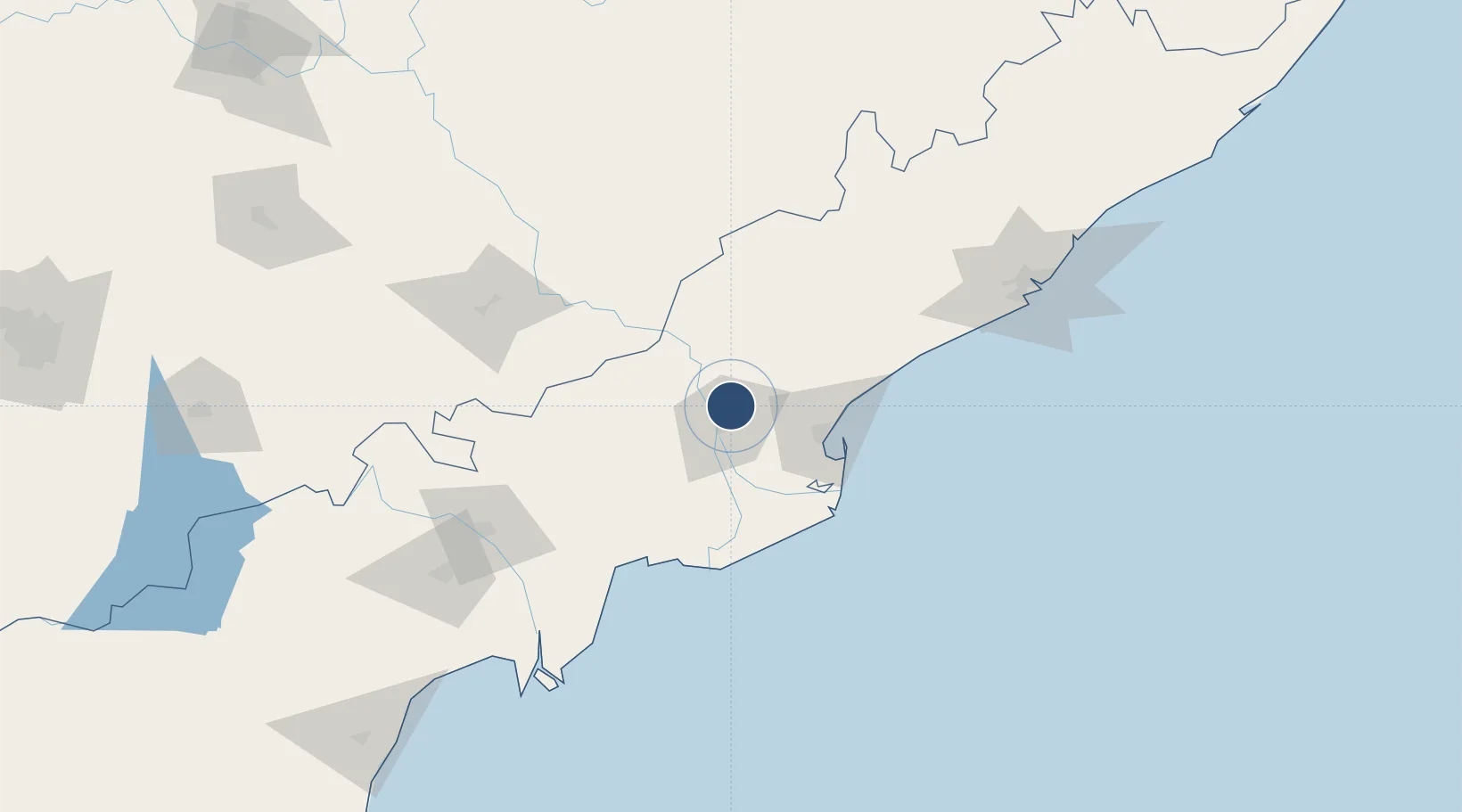
17.1058°, 81.8132°
10,384 ft
Longest runway
1
Runways
151 ft
Elevation

Runway & Layout

Rajahmundry Airport runway & taxiway layout
Runway & taxiway layout — OpenStreetMap (ODbL) / OurAirports

Radio Frequencies

TWR
122.3 MHz
OurAirports

Navaids

RY NDB Rajahmundry 366 kHz
OurAirports

Runways · 1

RunwayDimensions SurfaceTrue headingLit
05/23 10,384 × 148ft Asphalt 054°
OurAirports

Airport Specifications

IATA code
RJA
OurAirports
ICAO code
VORY
OurAirports
Airport class
Medium airport
OurAirports
Scheduled service
Yes
OurAirports
Runway surface
Asphalt
OurAirports
Served city
Madhurapudi
OurAirports

Location

Location of VORY
Natural Earth 10m (public domain) · Andhra Pradesh · VORY · 17.11, 81.81GoogleOSMYandex

Nearby Logistics Neighbours

Airports
  1. 1Vijayawada International Airport125 km
  2. 2Visakhapatnam International Airport165 km
  3. 3Jagdalpur Airport220 km
  4. 4Begumpet Airport357 km
  5. 5Rajiv Gandhi International Airport360 km
Nearest neighbours — logibook spatial index (haversine) over the source coordinates
Cities
  1. 1WFPML-SEZ/Kovvur13 km
  2. 2Samalkot40 km
  3. 3Kspl-SEZ/Kakinada47 km
  4. 4Picpl-SEZ/Kakinada47 km
  5. 5Kakinada52 km
Nearest neighbours — logibook spatial index (haversine) over the source coordinates
Ports
  1. 1Kakinada Bay55 km
  2. 2Gangavaram163 km
  3. 3Vishakhapatnam170 km
  4. 4Kattupalli Port365 km
  5. 5Gopalpur413 km
Nearest neighbours — logibook spatial index (haversine) over the source coordinates
Trade Zones
  1. 1Whitefield Paper Mills Ltd.22 km
  2. 2Apiic It SEZ Kakinada47 km
  3. 3Parry Infrastructure Company Private Limited49 km
  4. 4Hetero Infrastructure Private Limited, Vskp101 km
  5. 5Brandix India Apparel City Private Ltd., Vskp133 km
Nearest neighbours — logibook spatial index (haversine) over the source coordinates
DatabookThe Record of Consolidated Knowledge
India beyond logistics?
Browse databook

All Sources

AirportsOurAirports
Public domain
Portsthe NGA World Port Index
Public domain (US gov)
LocationsUN/LOCODE
UN/LOCODE — free
Trade Zonesthe World Bank SEZ database
CC BY 4.0
Trade ZonesOpen Zone Map
CC BY
InfrastructureOpenStreetMap
ODbL 1.0
← India airports