Transport Functions
Multimodal
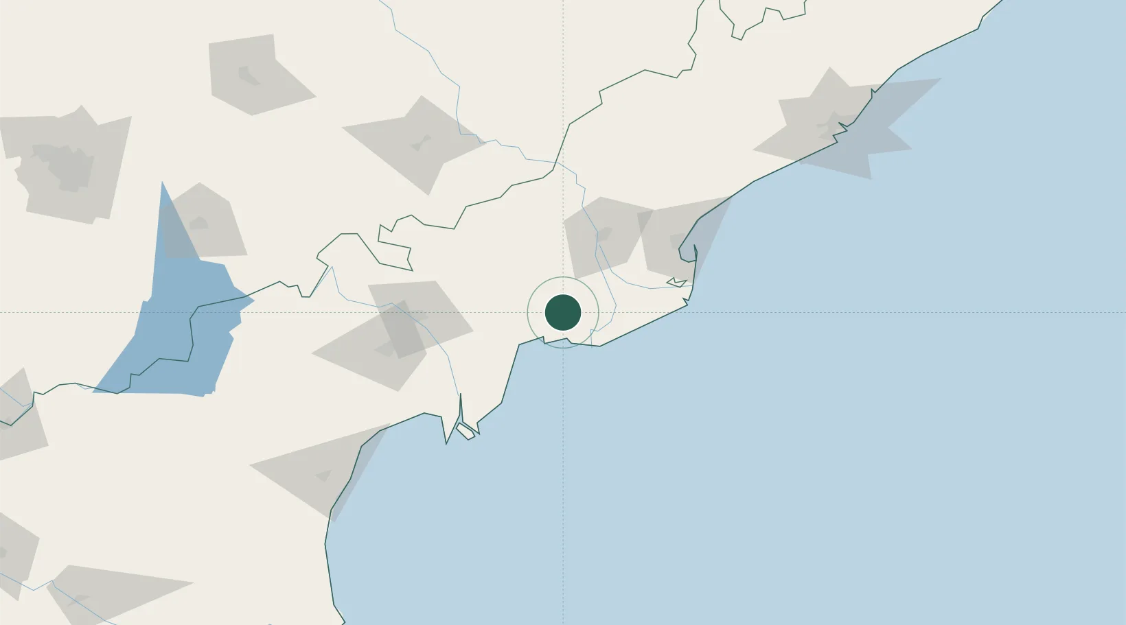
Hub Profile
Place type
Populated place
Region
Andhra Pradesh
Population
146,961
Time zone
Asia/Kolkata
Elevation
11 m
Location
Nearby Logistics Neighbours
Cities
- 1Machilipatnam58 km
- 2WFPML-SEZ/Kovvur58 km
- 3Kspl-SEZ/Kakinada85 km
- 4Picpl-SEZ/Kakinada85 km
- 5Samalkot90 km
Ports
- 1Kakinada Bay98 km
- 2Gangavaram220 km
- 3Vishakhapatnam227 km
- 4Kattupalli Port295 km
- 5Kamarajar Port386 km
Airports
Trade Zones
DatabookThe Record of Consolidated Knowledge
India beyond logistics?