Specialized Zone · India
S2Tech.com India Pvt.Ltd. Active
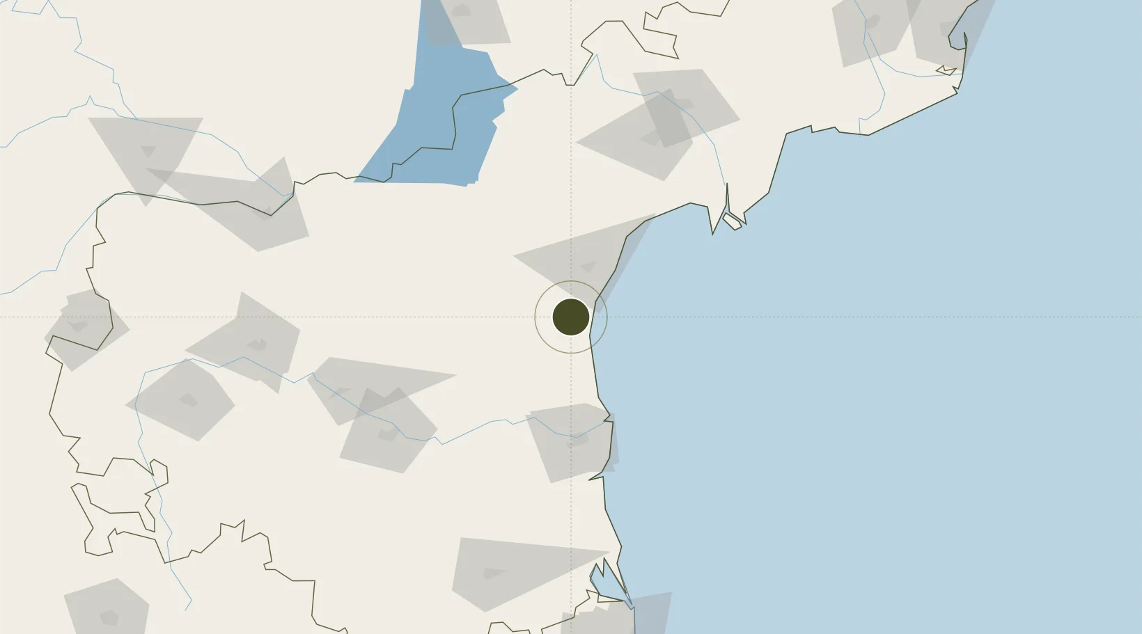
15.2081°, 79.9391°
10 ha
Zone area
108.6 km
Nearest port
147.6 km
Nearest airport
Gateway access
Zone profile
Zone type
Specialized Zone
Specialization
IT
Region
Andhra Pradesh
Status
Active
Management
Private
Operator
S2Tech Ltd.
Legal framework
Ministry Letter No. F.1/3/2008-SEZ
Location
Nearby Logistics Neighbours
Ports
- 1Kattupalli Port109 km
- 2Kamarajar Port221 km
- 3Chennai (Madras)238 km
- 4Kakinada Bay323 km
- 5Pondicherry364 km
Airports
- 1Kadapa Airport148 km
- 2Vijayawada International Airport174 km
- 3Tirupati International Airport181 km
- 4Kurnool Airport198 km
- 5Chennai International Airport248 km
Cities
- 1Asdipl-SEZ/Nellore86 km
- 2Krishnapatnam102 km
- 3Güdür120 km
- 4Lipl-ICD/Marripalem133 km
- 5Machilipatnam168 km
Trade Zones
- 1Kisan SEZ65 km
- 2Apache SEZ Development India Private Limited, Nellore118 km
- 3Mas Fabric Park (India) Pvt. Ltd., Nellore119 km
- 4Apiic Ltd.164 km
- 5Sri City187 km
DatabookThe Record of Consolidated Knowledge
India beyond logistics?