Transport Functions
Port
Rail
Road
Hub Profile
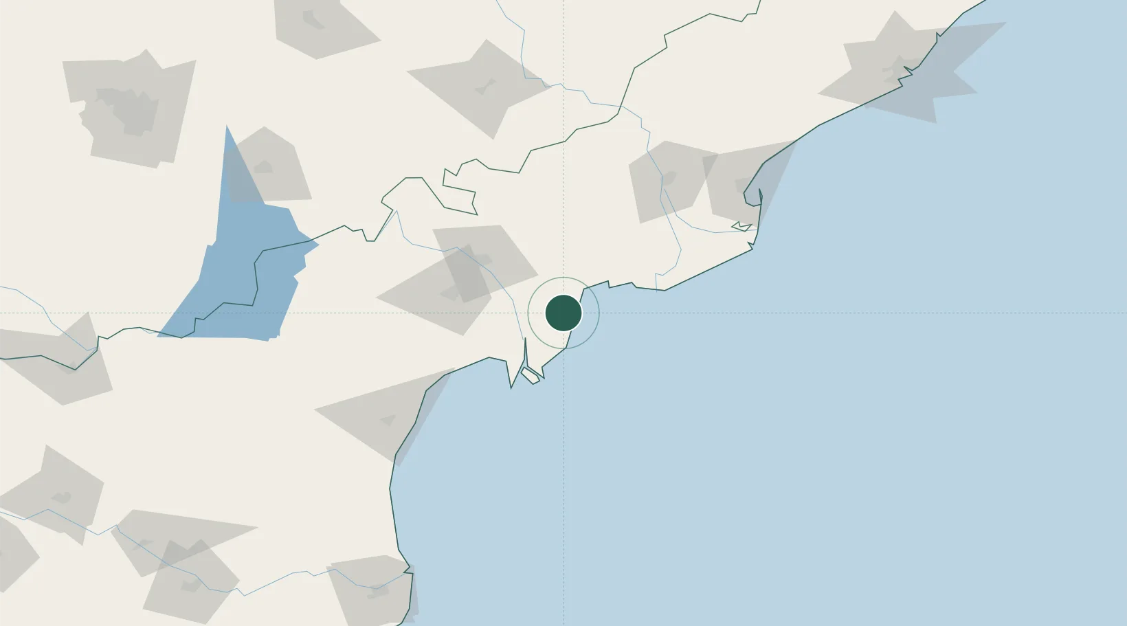
Place type
Populated place
Region
Andhra Pradesh
Population
192,827
Time zone
Asia/Kolkata
Elevation
11 m
Location
Nearby Logistics Neighbours
Cities
- 1Bhimavaram58 km
- 2Lipl-ICD/Marripalem74 km
- 3WFPML-SEZ/Kovvur113 km
- 4Kspl-SEZ/Kakinada142 km
- 5Picpl-SEZ/Kakinada142 km
Ports
- 1Kakinada Bay155 km
- 2Kattupalli Port240 km
- 3Gangavaram277 km
- 4Vishakhapatnam285 km
- 5Kamarajar Port336 km
Airports
- 1Vijayawada International Airport52 km
- 2Rajahmundry Airport126 km
- 3Visakhapatnam International Airport281 km
- 4Rajiv Gandhi International Airport311 km
- 5Kadapa Airport314 km
Trade Zones
- 1Apiic Ltd.61 km
- 2Whitefield Paper Mills Ltd.121 km
- 3Apiic It SEZ Kakinada150 km
- 4Parry Infrastructure Company Private Limited151 km
- 5S2Tech.com India Pvt.Ltd.168 km
DatabookThe Record of Consolidated Knowledge
India beyond logistics?