Large airport · India
Vijayawada International AirportVOBZ
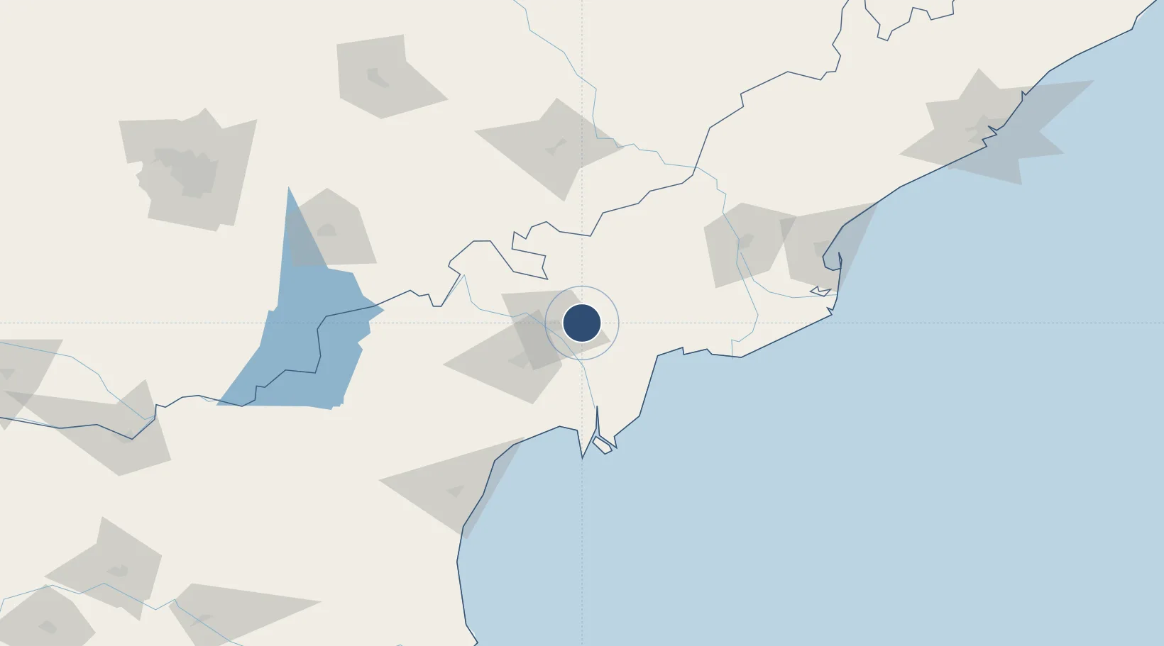
16.5300°, 80.8049°
11,023 ft
Longest runway
1
Runways
82 ft
Elevation
Runway & Layout

Radio Frequencies
TWR
123.5 MHz
Navaids
BBZ VOR-DME Vijayawada 116.20 MHz
BZ NDB Vijayawada 393 kHz
Runways · 1
| Runway | Dimensions | Surface | True heading | Lit |
|---|---|---|---|---|
| 08/26 | 11,023 × 148ft | Asphalt | 079° | ✓ |
Airport Specifications
IATA code
VGA
ICAO code
VOBZ
Airport class
Large airport
Scheduled service
Yes
Runway surface
Asphalt
Served city
Vijayawada
Location
Nearby Logistics Neighbours
Airports
- 1Rajahmundry Airport125 km
- 2Rajiv Gandhi International Airport265 km
- 3Begumpet Airport269 km
- 4Dundigul Air Force Academy283 km
- 5Visakhapatnam International Airport290 km
Cities
- 1Lipl-ICD/Marripalem46 km
- 2Machilipatnam52 km
- 3Bhimavaram78 km
- 4WFPML-SEZ/Kovvur113 km
- 5Kspl-SEZ/Kakinada157 km
Ports
- 1Kakinada Bay169 km
- 2Kattupalli Port264 km
- 3Gangavaram287 km
- 4Vishakhapatnam295 km
- 5Kamarajar Port367 km
Trade Zones
- 1Apiic Ltd.15 km
- 2Whitefield Paper Mills Ltd.112 km
- 3Apiic It SEZ Kakinada162 km
- 4Parry Infrastructure Company Private Limited164 km
- 5S2Tech.com India Pvt.Ltd.174 km
DatabookThe Record of Consolidated Knowledge
India beyond logistics?