Free Trade Zone · India

Whitefield Paper Mills Ltd. Active
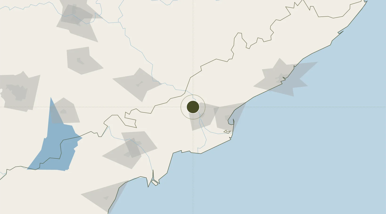
17.1707°, 81.6207°
110 ha
Zone area
76.4 km
Nearest port
21.7 km
Nearest airport

Gateway access

Nearest neighbours — logibook spatial index (haversine) over the source coordinates

Zone profile

Zone type
Free Trade Zone
Open Zone Map
Region
Andhra Pradesh
Open Zone Map
Status
Active
Open Zone Map
Management
Private
Open Zone Map
Operator
Whitefield Paper Mills Ltd.
Open Zone Map
Legal framework
Andhra Pradesh Bill No. 51 of 2005
Open Zone Map

Location

Location of ozm-2148
Natural Earth 10m (public domain) · Andhra Pradesh · ozm-2148 · 17.17, 81.62GoogleOSMYandex

Nearby Logistics Neighbours

Ports
  1. 1Kakinada Bay76 km
  2. 2Gangavaram180 km
  3. 3Vishakhapatnam187 km
  4. 4Kattupalli Port362 km
  5. 5Gopalpur426 km
Nearest neighbours — logibook spatial index (haversine) over the source coordinates
Airports
  1. 1Rajahmundry Airport22 km
  2. 2Vijayawada International Airport112 km
  3. 3Visakhapatnam International Airport181 km
  4. 4Jagdalpur Airport216 km
  5. 5Begumpet Airport336 km
Nearest neighbours — logibook spatial index (haversine) over the source coordinates
Cities
  1. 1WFPML-SEZ/Kovvur21 km
  2. 2Samalkot61 km
  3. 3Kspl-SEZ/Kakinada69 km
  4. 4Picpl-SEZ/Kakinada69 km
  5. 5Bhimavaram72 km
Nearest neighbours — logibook spatial index (haversine) over the source coordinates
Trade Zones
  1. 1Apiic It SEZ Kakinada69 km
  2. 2Parry Infrastructure Company Private Limited71 km
  3. 3Hetero Infrastructure Private Limited, Vskp119 km
  4. 4Apiic Ltd.126 km
  5. 5Brandix India Apparel City Private Ltd., Vskp151 km
Nearest neighbours — logibook spatial index (haversine) over the source coordinates
DatabookThe Record of Consolidated Knowledge
India beyond logistics?
Browse databook

All Sources

Trade ZonesOpen Zone Map
CC BY
Portsthe NGA World Port Index
Public domain (US gov)
AirportsOurAirports
Public domain
LocationsUN/LOCODE
UN/LOCODE — free
← India trade zones