Diversified Zone · India
Kisan SEZ Active
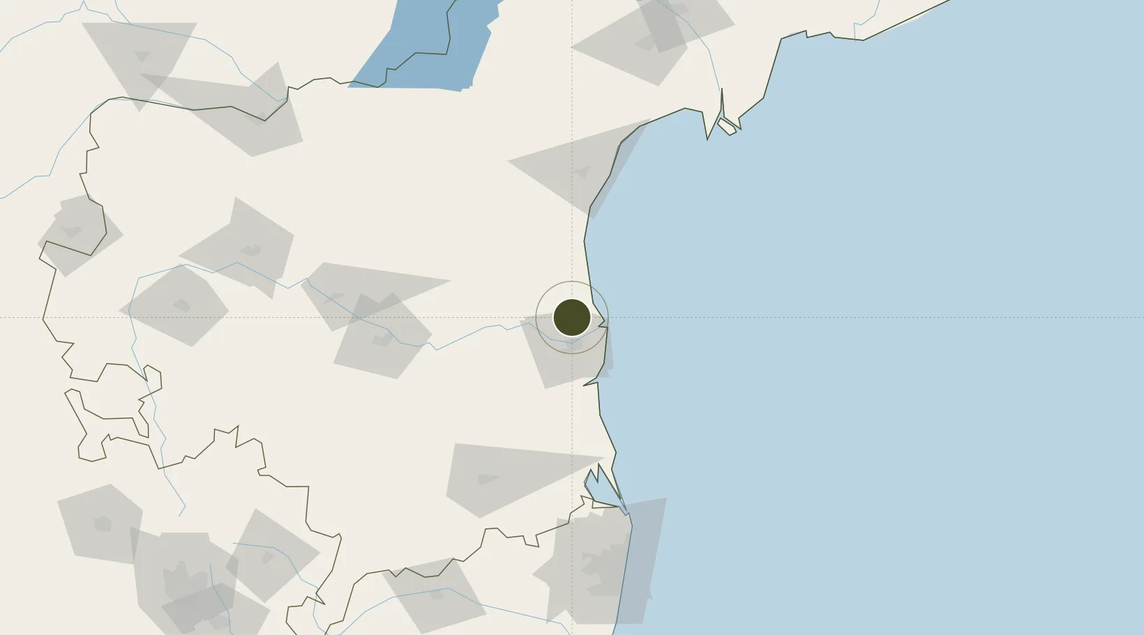
14.6260°, 79.9794°
1,023 ha
Zone area
45.0 km
Nearest port
120.3 km
Nearest airport
Gateway access
Zone profile
Zone type
Diversified Zone
Region
Andhra Pradesh
Status
Active
Management
Public
Operator
Indian Farmers Fertiliser Cooperative
Legal framework
LOA No. 17(D)/01/2012/IFFCO-SEZ dated 19.07.2012
Location
Nearby Logistics Neighbours
Ports
- 1Kattupalli Port45 km
- 2Kamarajar Port157 km
- 3Chennai (Madras)173 km
- 4Pondicherry300 km
- 5Cuddalore324 km
Airports
- 1Tirupati International Airport120 km
- 2Kadapa Airport131 km
- 3Chennai International Airport183 km
- 4Kurnool Airport229 km
- 5Vijayawada International Airport229 km
Cities
- 1Asdipl-SEZ/Nellore22 km
- 2Krishnapatnam38 km
- 3Güdür57 km
- 4Renigunta119 km
- 5Sri City Pvt Ltd-SEZ/Satyavedu133 km
DatabookThe Record of Consolidated Knowledge
India beyond logistics?