UN/LOCODE hub · India
INGNR

Lipl-ICD/Marripalem

16.3000°, 80.4500°
1
Transport functions

Transport Functions

Multimodal
UN/LOCODE

Hub Profile

Region
AP
GeoNames

Location

Location of INGNR
Natural Earth 10m (public domain) · AP · INGNR · 16.30, 80.45GoogleOSMYandex

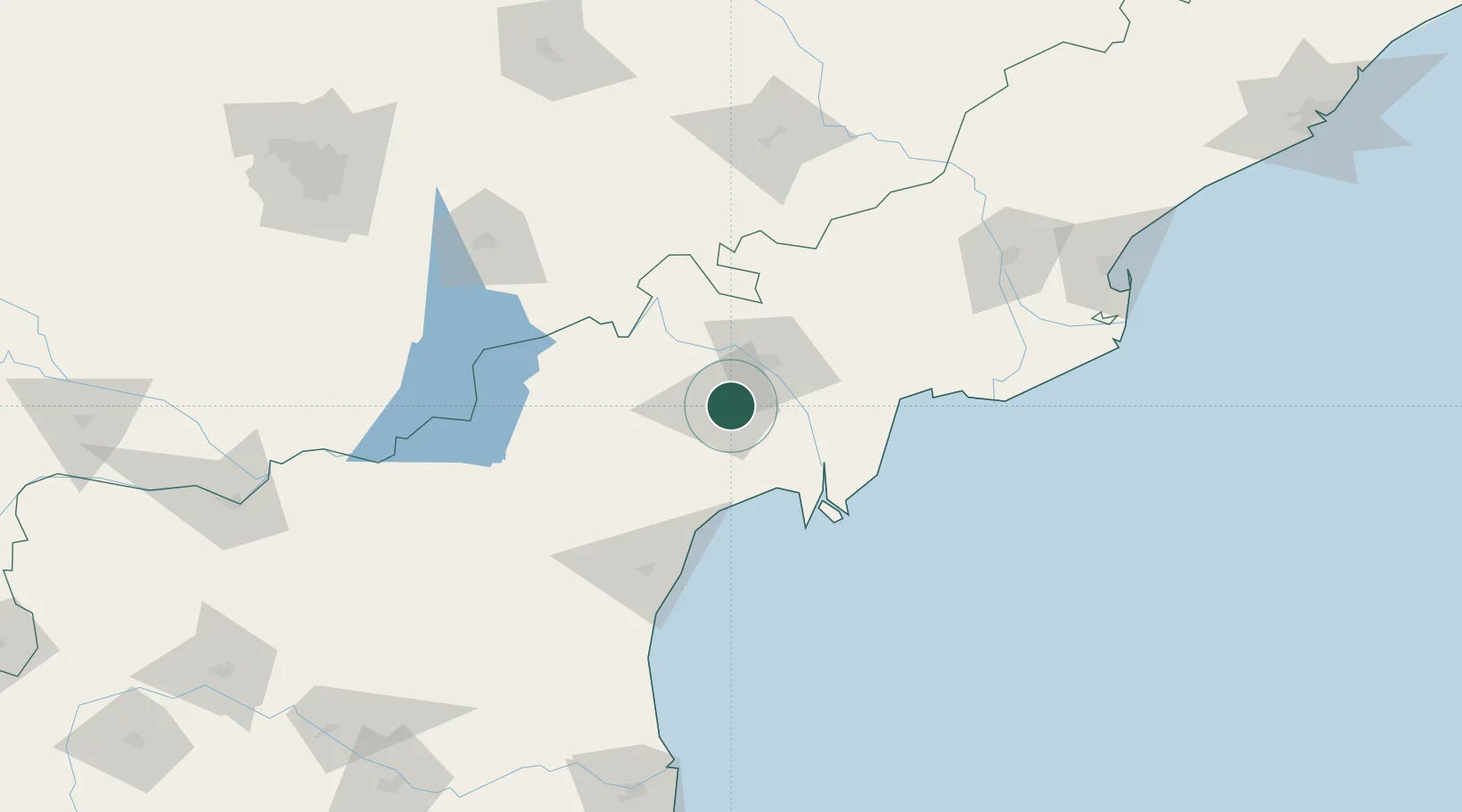
Nearby Logistics Neighbours

Cities
  1. 1Machilipatnam74 km
  2. 2Bhimavaram118 km
  3. 3WFPML-SEZ/Kovvur158 km
  4. 4Kspl-SEZ/Kakinada201 km
  5. 5Picpl-SEZ/Kakinada201 km
Nearest neighbours — logibook spatial index (haversine) over the source coordinates
Ports
  1. 1Kakinada Bay214 km
  2. 2Kattupalli Port231 km
  3. 3Gangavaram333 km
  4. 4Kamarajar Port338 km
  5. 5Vishakhapatnam340 km
Nearest neighbours — logibook spatial index (haversine) over the source coordinates
Airports
  1. 1Vijayawada International Airport46 km
  2. 2Rajahmundry Airport171 km
  3. 3Rajiv Gandhi International Airport239 km
  4. 4Begumpet Airport247 km
  5. 5Kurnool Airport252 km
Nearest neighbours — logibook spatial index (haversine) over the source coordinates
Trade Zones
  1. 1Apiic Ltd.32 km
  2. 2S2Tech.com India Pvt.Ltd.133 km
  3. 3Whitefield Paper Mills Ltd.158 km
  4. 4Kisan SEZ193 km
  5. 5Apiic It SEZ Kakinada207 km
Nearest neighbours — logibook spatial index (haversine) over the source coordinates
DatabookThe Record of Consolidated Knowledge
India beyond logistics?
Browse databook

All Sources

LocationsUN/LOCODE
UN/LOCODE — free
Portsthe NGA World Port Index
Public domain (US gov)
AirportsOurAirports
Public domain
Trade Zonesthe World Bank SEZ database
CC BY 4.0
Trade ZonesOpen Zone Map
CC BY
← India locations