Specialized Zone · India

Parry Infrastructure Company Private Limited Active
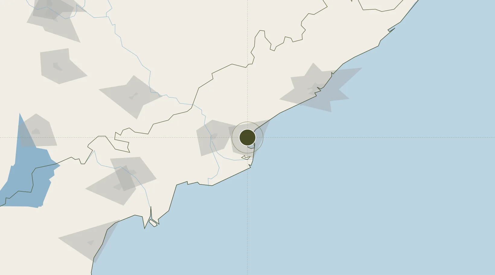
17.0040°, 82.2628°
101 ha
Zone area
5.7 km
Nearest port
49.1 km
Nearest airport

Gateway access

Nearest neighbours — logibook spatial index (haversine) over the source coordinates

Zone profile

Zone type
Specialized Zone
Open Zone Map
Specialization
Agriculture
Open Zone Map
Region
Andhra Pradesh
Open Zone Map
Status
Active
Open Zone Map
Management
Private
Open Zone Map
Operator
Parry Infrastructure Company pvt. ltd.
Open Zone Map
Legal framework
LoA No.22(1)/VSEZ/2007 dated:30.01.2008
Open Zone Map

Location

Location of ozm-2156
Natural Earth 10m (public domain) · Andhra Pradesh · ozm-2156 · 17.00, 82.26GoogleOSMYandex

Nearby Logistics Neighbours

Ports
  1. 1Kakinada Bay6 km
  2. 2Gangavaram126 km
  3. 3Vishakhapatnam134 km
  4. 4Kattupalli Port382 km
  5. 5Gopalpur383 km
Nearest neighbours — logibook spatial index (haversine) over the source coordinates
Airports
  1. 1Rajahmundry Airport49 km
  2. 2Visakhapatnam International Airport130 km
  3. 3Vijayawada International Airport164 km
  4. 4Jagdalpur Airport231 km
  5. 5Utkela Airport357 km
Nearest neighbours — logibook spatial index (haversine) over the source coordinates
Cities
  1. 1Kakinada5 km
  2. 2Kspl-SEZ/Kakinada9 km
  3. 3Picpl-SEZ/Kakinada9 km
  4. 4Samalkot10 km
  5. 5WFPML-SEZ/Kovvur56 km
Nearest neighbours — logibook spatial index (haversine) over the source coordinates
Trade Zones
  1. 1Apiic It SEZ Kakinada2 km
  2. 2Hetero Infrastructure Private Limited, Vskp64 km
  3. 3Whitefield Paper Mills Ltd.71 km
  4. 4Brandix India Apparel City Private Ltd., Vskp97 km
  5. 5Jawaharlal Nehru Pharma City114 km
Nearest neighbours — logibook spatial index (haversine) over the source coordinates
DatabookThe Record of Consolidated Knowledge
India beyond logistics?
Browse databook

All Sources

Trade ZonesOpen Zone Map
CC BY
Portsthe NGA World Port Index
Public domain (US gov)
AirportsOurAirports
Public domain
LocationsUN/LOCODE
UN/LOCODE — free
← India trade zones