UN/LOCODE hub · India
INKVR

WFPML-SEZ/Kovvur

17.0167°, 81.7333°
1
Transport functions

Transport Functions

Multimodal
UN/LOCODE

Hub Profile

Region
AP
GeoNames

Location

Location of INKVR
Natural Earth 10m (public domain) · AP · INKVR · 17.02, 81.73GoogleOSMYandex

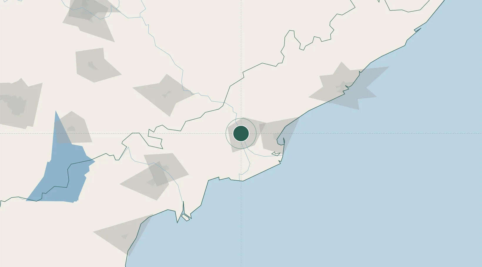
Nearby Logistics Neighbours

Cities
  1. 1Samalkot48 km
  2. 2Kspl-SEZ/Kakinada52 km
  3. 3Picpl-SEZ/Kakinada52 km
  4. 4Bhimavaram58 km
  5. 5Kakinada58 km
Nearest neighbours — logibook spatial index (haversine) over the source coordinates
Ports
  1. 1Kakinada Bay62 km
  2. 2Gangavaram175 km
  3. 3Vishakhapatnam182 km
  4. 4Kattupalli Port352 km
  5. 5Gopalpur426 km
Nearest neighbours — logibook spatial index (haversine) over the source coordinates
Airports
  1. 1Rajahmundry Airport13 km
  2. 2Vijayawada International Airport113 km
  3. 3Visakhapatnam International Airport177 km
  4. 4Jagdalpur Airport231 km
  5. 5Begumpet Airport350 km
Nearest neighbours — logibook spatial index (haversine) over the source coordinates
Trade Zones
  1. 1Whitefield Paper Mills Ltd.21 km
  2. 2Apiic It SEZ Kakinada55 km
  3. 3Parry Infrastructure Company Private Limited56 km
  4. 4Hetero Infrastructure Private Limited, Vskp113 km
  5. 5Apiic Ltd.127 km
Nearest neighbours — logibook spatial index (haversine) over the source coordinates
DatabookThe Record of Consolidated Knowledge
India beyond logistics?
Browse databook

All Sources

LocationsUN/LOCODE
UN/LOCODE — free
Portsthe NGA World Port Index
Public domain (US gov)
AirportsOurAirports
Public domain
Trade Zonesthe World Bank SEZ database
CC BY 4.0
Trade ZonesOpen Zone Map
CC BY
← India locations