Specialized Zone · India

Infosys Tech, Pocharam Under Development
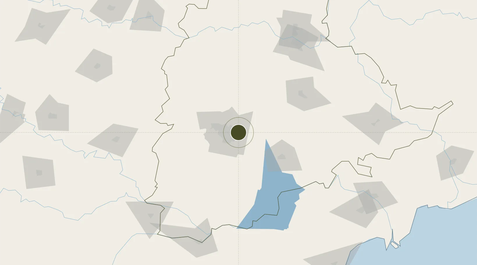
17.4457°, 78.6367°
181 ha
Zone area
389.7 km
Nearest port
18.0 km
Nearest airport

Gateway access

Nearest neighbours — logibook spatial index (haversine) over the source coordinates

Zone profile

Zone type
Specialized Zone
Open Zone Map
Specialization
IT
Open Zone Map
Region
Telangana
Open Zone Map
Status
Under Development
Open Zone Map
Management
Private
Open Zone Map
Operator
Infosys Tech
Open Zone Map
Legal framework
LoA 9/243/SEZ/HYD/2014 dated 11.8.2014
Open Zone Map

Location

Location of ozm-2271
Natural Earth 10m (public domain) · Telangana · ozm-2271 · 17.45, 78.64GoogleOSMYandex

Nearby Logistics Neighbours

Ports
  1. 1Kattupalli Port390 km
  2. 2Kakinada Bay394 km
  3. 3Gangavaram490 km
  4. 4Vishakhapatnam495 km
  5. 5Kamarajar Port500 km
Nearest neighbours — logibook spatial index (haversine) over the source coordinates
Airports
  1. 1Begumpet Airport18 km
  2. 2Dundigul Air Force Academy32 km
  3. 3Rajiv Gandhi International Airport32 km
  4. 4Bidar Airport / Bidar Air Force Station132 km
  5. 5Kalaburagi Airport178 km
Nearest neighbours — logibook spatial index (haversine) over the source coordinates
Cities
  1. 1APIICL-SEZ/Ranga Reddy20 km
  2. 2Hgsezl-SEZ/Ranga Reddy20 km
  3. 3Raidurg26 km
  4. 4Hyderabad27 km
  5. 5Aditabla29 km
Nearest neighbours — logibook spatial index (haversine) over the source coordinates
Trade Zones
  1. 1Apiic Ltd & L&T, Kesarapalli18 km
  2. 2Dr. Reddys Laboratories Ltd20 km
  3. 3Nsl SEZ, Uppal22 km
  4. 4Hyderabad Specialized Zone (Gems) SEZ24 km
  5. 5SP Specialized Zone (Bio-Tech) Park25 km
Nearest neighbours — logibook spatial index (haversine) over the source coordinates
DatabookThe Record of Consolidated Knowledge
India beyond logistics?
Browse databook

All Sources

Trade ZonesOpen Zone Map
CC BY
Portsthe NGA World Port Index
Public domain (US gov)
AirportsOurAirports
Public domain
LocationsUN/LOCODE
UN/LOCODE — free
← India trade zones