UN/LOCODE hub · India
INFMT

Aditabla

17.3833°, 78.9000°
1
Transport functions

Transport Functions

Multimodal
UN/LOCODE

Hub Profile

Region
TG
GeoNames

Location

Location of INFMT
Natural Earth 10m (public domain) · TG · INFMT · 17.38, 78.90GoogleOSMYandex

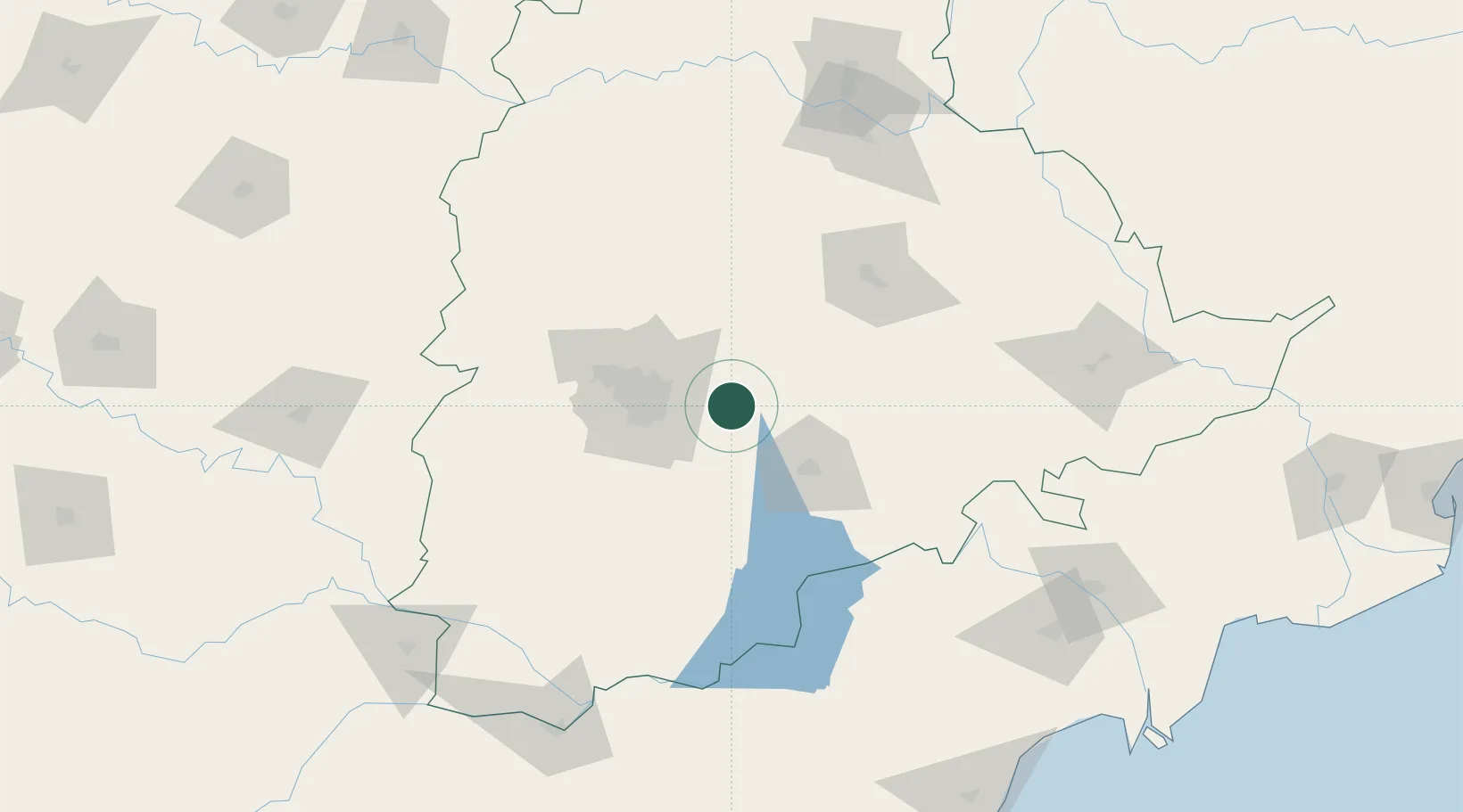
Nearby Logistics Neighbours

Cities
  1. 1ITL SEZ/Ranga Reddy39 km
  2. 2DSIL SEZ/Ranga Reddy39 km
  3. 3Raidurg44 km
  4. 4APIICL-SEZ/Ranga Reddy46 km
  5. 5Hgsezl-SEZ/Ranga Reddy46 km
Nearest neighbours — logibook spatial index (haversine) over the source coordinates
Ports
  1. 1Kakinada Bay365 km
  2. 2Kattupalli Port373 km
  3. 3Gangavaram462 km
  4. 4Vishakhapatnam468 km
  5. 5Kamarajar Port484 km
Nearest neighbours — logibook spatial index (haversine) over the source coordinates
Airports
  1. 1Begumpet Airport47 km
  2. 2Rajiv Gandhi International Airport53 km
  3. 3Dundigul Air Force Academy59 km
  4. 4Bidar Airport / Bidar Air Force Station161 km
  5. 5Kurnool Airport201 km
Nearest neighbours — logibook spatial index (haversine) over the source coordinates
Trade Zones
  1. 1Infosys Tech, Pocharam29 km
  2. 2TCSl Ltd, Adibatla40 km
  3. 3SP Specialized Zone (Bio-Tech) Park43 km
  4. 4Apiic Ltd & L&T, Kesarapalli45 km
  5. 5Dr. Reddys Laboratories Ltd49 km
Nearest neighbours — logibook spatial index (haversine) over the source coordinates
DatabookThe Record of Consolidated Knowledge
India beyond logistics?
Browse databook

All Sources

LocationsUN/LOCODE
UN/LOCODE — free
Portsthe NGA World Port Index
Public domain (US gov)
AirportsOurAirports
Public domain
Trade Zonesthe World Bank SEZ database
CC BY 4.0
Trade ZonesOpen Zone Map
CC BY
← India locations