Medium airport · India
Kadapa AirportVOCP
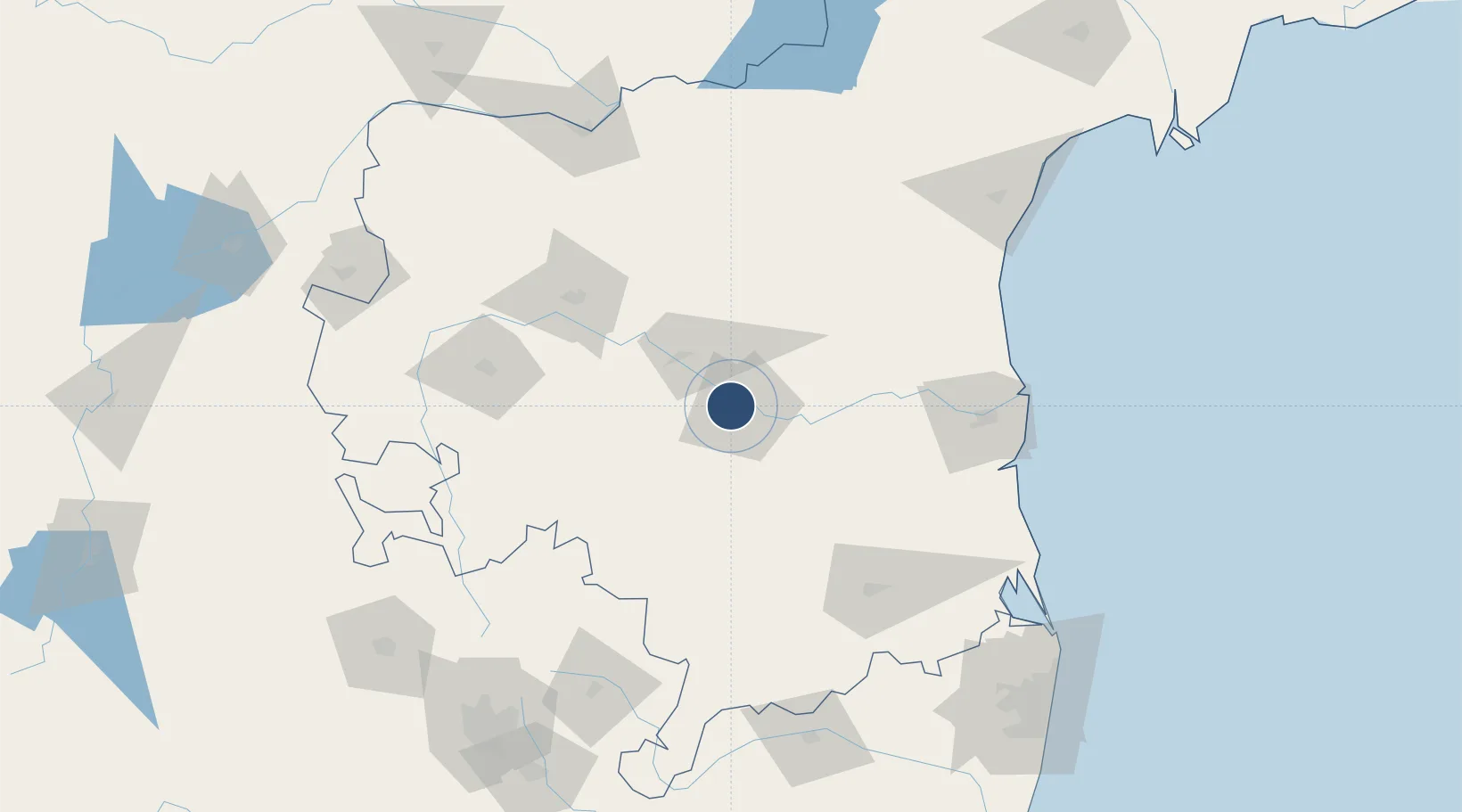
14.5132°, 78.7692°
6,562 ft
Longest runway
1
Runways
430 ft
Elevation
Runway & Layout

Radio Frequencies
TWR
118.35 MHz
Runways · 1
| Runway | Dimensions | Surface | True heading | Lit |
|---|---|---|---|---|
| 11/29 | 6,562 × 148ft | Asphalt | 108° | — |
Airport Specifications
IATA code
CDP
ICAO code
VOCP
Airport class
Medium airport
Scheduled service
Yes
Runway surface
Asphalt
Served city
Kadapa
Location
Nearby Logistics Neighbours
Airports
- 1Sri Sathya Sai Airport113 km
- 2Tirupati International Airport129 km
- 3Kurnool Airport149 km
- 4Kempegowda International Airport Bengaluru186 km
- 5Jakkur Aerodrome204 km
Cities
- 1Pulivendula59 km
- 2Güdür122 km
- 3Renigunta125 km
- 4Anantapur127 km
- 5Asdipl-SEZ/Nellore129 km
Ports
- 1Kattupalli Port150 km
- 2Kamarajar Port220 km
- 3Chennai (Madras)228 km
- 4Pondicherry309 km
- 5Cuddalore329 km
Trade Zones
DatabookThe Record of Consolidated Knowledge
India beyond logistics?