Large airport · India

Tirupati International AirportVOTP
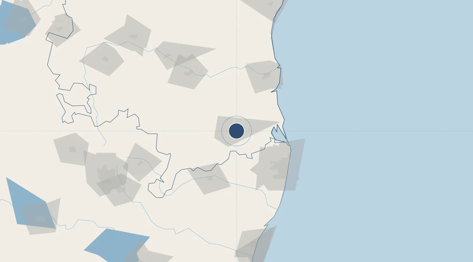
13.6320°, 79.5399°
12,500 ft
Longest runway
1
Runways
350 ft
Elevation

Runway & Layout

Tirupati International Airport runway & taxiway layout
Runway & taxiway layout — OpenStreetMap (ODbL) / OurAirports

Radio Frequencies

TWR
119 MHz
OurAirports

Navaids

TTP VOR-DME Tirupati 115.70 MHz
OurAirports

Runways · 1

RunwayDimensions SurfaceTrue headingLit
08/26 12,500 × 148ft Asphalt 081°
OurAirports

Airport Specifications

IATA code
TIR
OurAirports
ICAO code
VOTP
OurAirports
Airport class
Large airport
OurAirports
Scheduled service
Yes
OurAirports
Runway surface
Asphalt
OurAirports
Served city
Tirupati
OurAirports

Location

Location of VOTP
Natural Earth 10m (public domain) · Andhra Pradesh · VOTP · 13.63, 79.54GoogleOSMYandex

Nearby Logistics Neighbours

Airports
  1. 1Chennai International Airport99 km
  2. 2Kadapa Airport129 km
  3. 3Pondicherry Airport187 km
  4. 4Sri Sathya Sai Airport197 km
  5. 5Kempegowda International Airport Bengaluru204 km
Nearest neighbours — logibook spatial index (haversine) over the source coordinates
Cities
  1. 1Renigunta3 km
  2. 2Sri City Pvt Ltd-SEZ/Satyavedu53 km
  3. 3Güdür64 km
  4. 4LTSL SEZ/Tiruvallur67 km
  5. 5Tiruvallur67 km
Nearest neighbours — logibook spatial index (haversine) over the source coordinates
Ports
  1. 1Kattupalli Port94 km
  2. 2Kamarajar Port96 km
  3. 3Chennai (Madras)101 km
  4. 4Pondicherry192 km
  5. 5Cuddalore214 km
Nearest neighbours — logibook spatial index (haversine) over the source coordinates
Trade Zones
  1. 1Sri City47 km
  2. 2Apache SEZ Development India Private Limited, Nellore78 km
  3. 3Mas Fabric Park (India) Pvt. Ltd., Nellore79 km
  4. 4Flextronics Technologies (India) Private Limited91 km
  5. 5DLF Info City97 km
Nearest neighbours — logibook spatial index (haversine) over the source coordinates
DatabookThe Record of Consolidated Knowledge
India beyond logistics?
Browse databook

All Sources

AirportsOurAirports
Public domain
Portsthe NGA World Port Index
Public domain (US gov)
LocationsUN/LOCODE
UN/LOCODE — free
Trade Zonesthe World Bank SEZ database
CC BY 4.0
Trade ZonesOpen Zone Map
CC BY
InfrastructureOpenStreetMap
ODbL 1.0
← India airports