Large airport · India
Chennai International AirportVOMM
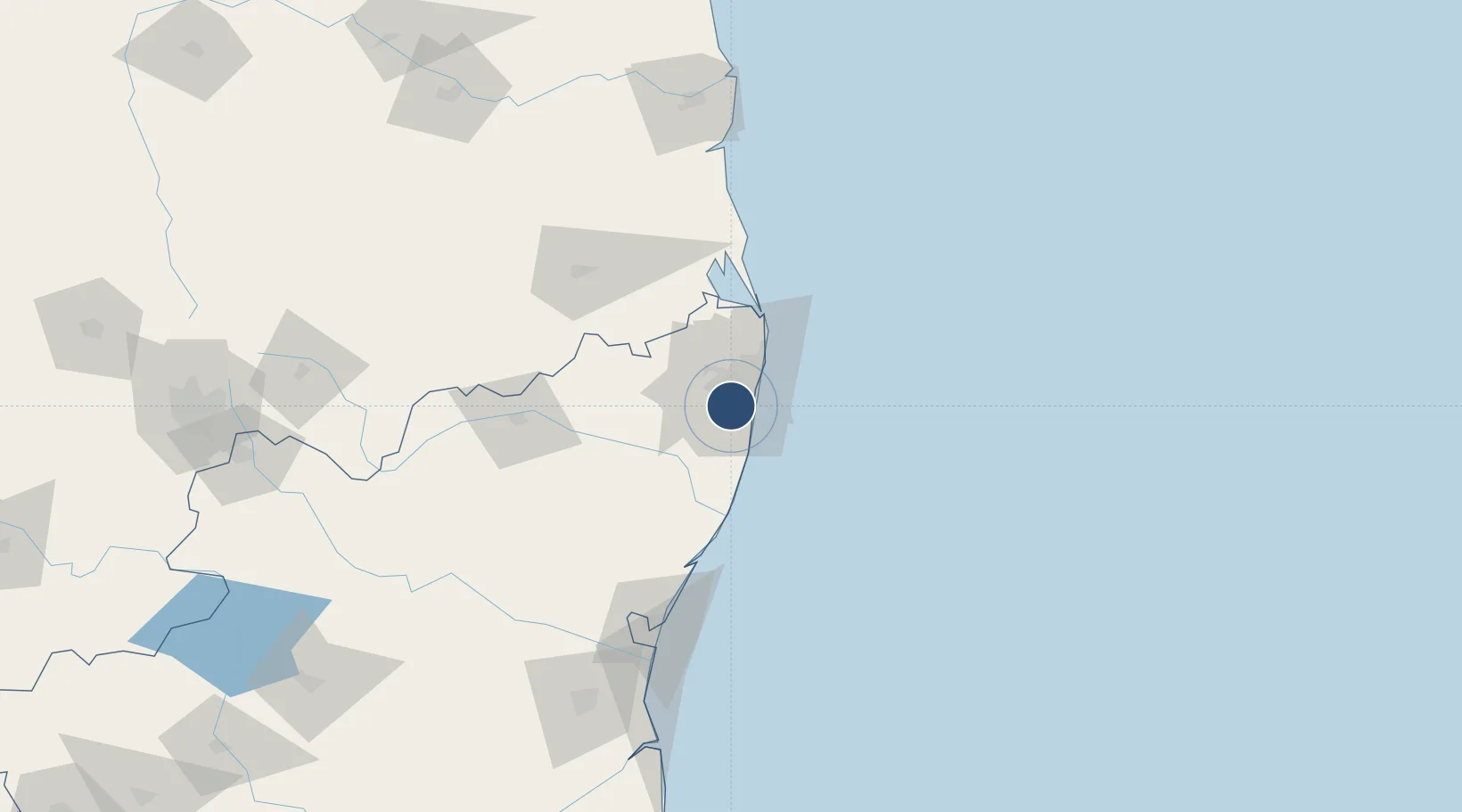
12.9900°, 80.1693°
12,001 ft
Longest runway
2
Runways
52 ft
Elevation
Runway & Layout

Radio Frequencies
ATIS
127.45 MHz
TWR
118.1 MHz
GND
121.9 MHz
APP
127.9 MHz
ACC
118.9 MHz
CHENNAI CNTR
GCA
125.7 MHz
SCHENNAI RADARS
Navaids
MA NDB Chennai 228 kHz
MMV VOR-DME Chennai 112.50 MHz
Runways · 2
| Runway | Dimensions | Surface | True heading | Lit |
|---|---|---|---|---|
| 07/25 | 12,001 × 148ft | Asphalt | 069° | ✓ |
| 12/30 | 6,708 × 148ft | Asphalt / concrete | 118° | ✓ |
Airport Specifications
IATA code
MAA
ICAO code
VOMM
Airport class
Large airport
Scheduled service
Yes
Runway surface
Asphalt
Served city
Chennai
Location
Nearby Logistics Neighbours
Airports
- 1Tirupati International Airport99 km
- 2Pondicherry Airport120 km
- 3Kadapa Airport227 km
- 4Salem Airport265 km
- 5Kempegowda International Airport Bengaluru268 km
Cities
- 1Adambakkam3 km
- 2Kodambakkam7 km
- 3Adyar9 km
- 4Kottivakkam9 km
- 5Koyambedu9 km
Ports
- 1Chennai (Madras)19 km
- 2Kamarajar Port36 km
- 3Pondicherry123 km
- 4Kattupalli Port140 km
- 5Cuddalore148 km
Trade Zones
DatabookThe Record of Consolidated Knowledge
India beyond logistics?