Transport Functions
Rail
Road
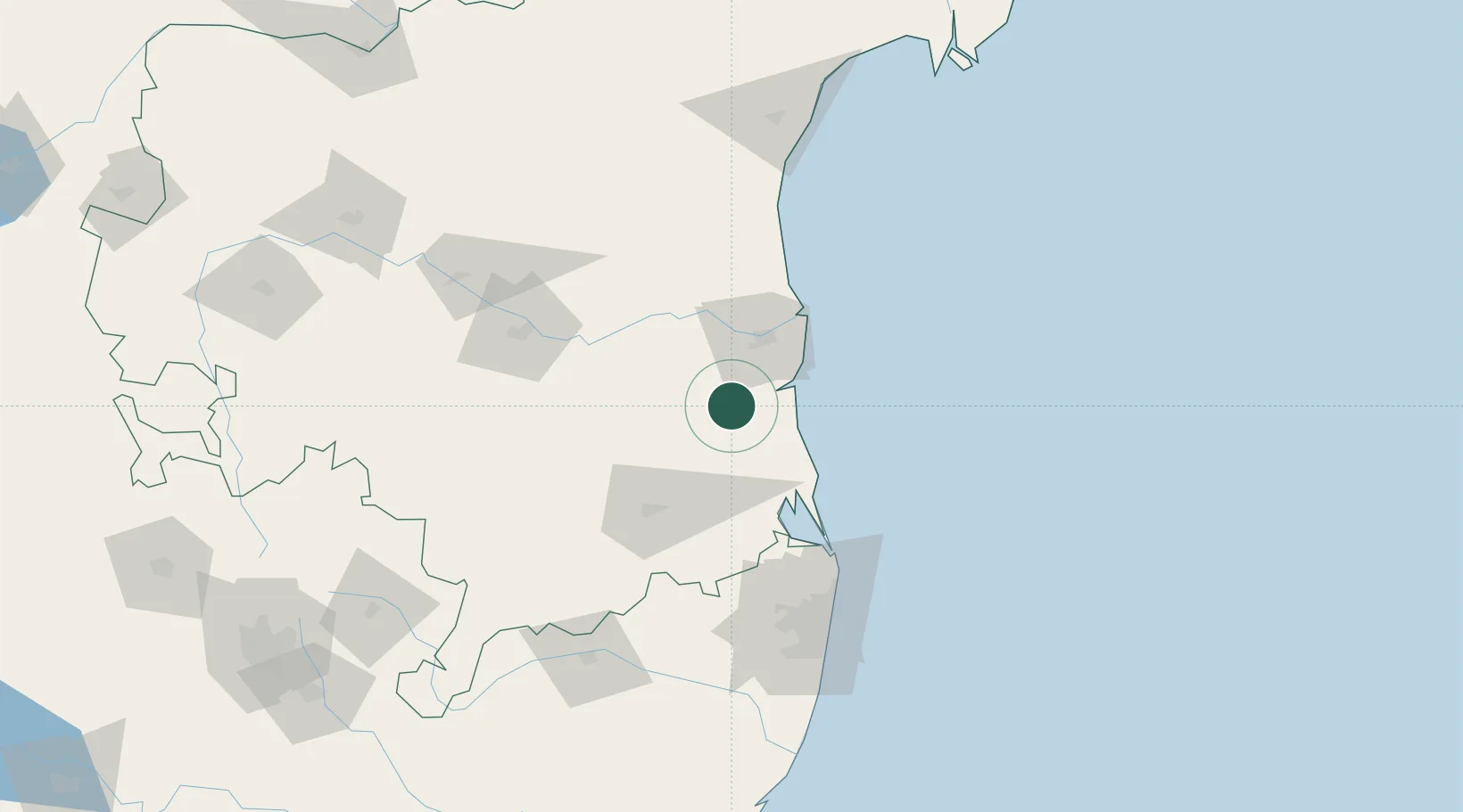
Hub Profile
Place type
Populated place
Region
Andhra Pradesh
Population
74,851
Time zone
Asia/Kolkata
Elevation
17 m
Location
Nearby Logistics Neighbours
Cities
- 1Krishnapatnam30 km
- 2Asdipl-SEZ/Nellore36 km
- 3Renigunta64 km
- 4Sri City Pvt Ltd-SEZ/Satyavedu80 km
- 5Nandiambakkam104 km
Ports
- 1Kattupalli Port35 km
- 2Kamarajar Port112 km
- 3Chennai (Madras)126 km
- 4Pondicherry245 km
- 5Cuddalore269 km
Airports
- 1Tirupati International Airport64 km
- 2Kadapa Airport122 km
- 3Chennai International Airport132 km
- 4Sri Sathya Sai Airport220 km
- 5Kurnool Airport251 km
Trade Zones
DatabookThe Record of Consolidated Knowledge
India beyond logistics?