Specialized Zone · India

Apache SEZ Development India Private Limited, Nellore Active
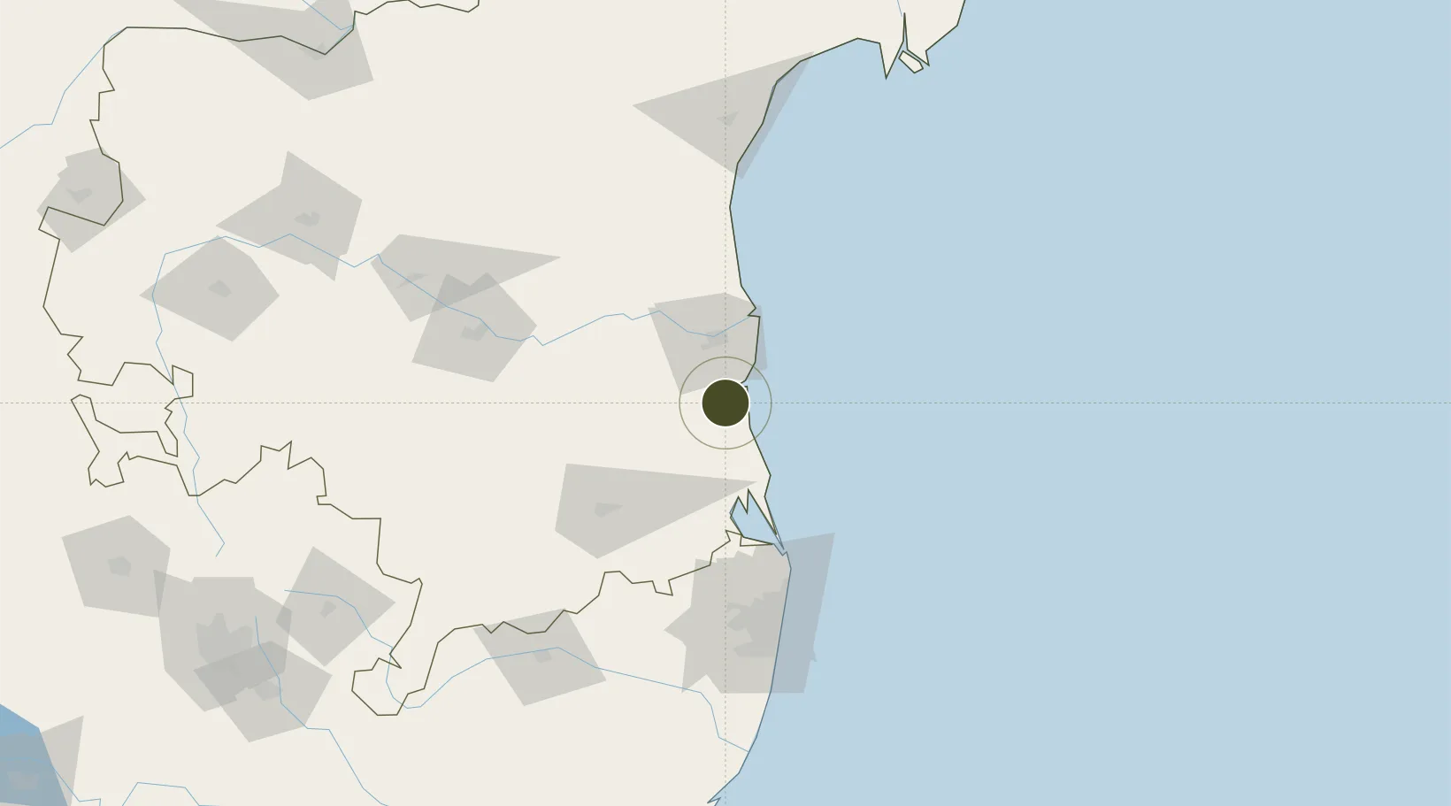
14.1485°, 80.0318°
1,024 ha
Zone area
15.7 km
Nearest port
78.2 km
Nearest airport

Gateway access

Nearest neighbours — logibook spatial index (haversine) over the source coordinates

Zone profile

Zone type
Specialized Zone
Open Zone Map
Specialization
Textiles
Open Zone Map
Region
Andhra Pradesh
Open Zone Map
Status
Active
Open Zone Map
Management
Private
Open Zone Map
Operator
Apache SEZ Development India Pt. Ltd.
Open Zone Map
Legal framework
LoA No.23(2)/SSSEZ/2006 dated 13.10.2006
Open Zone Map

Location

Location of ozm-2330
Natural Earth 10m (public domain) · Andhra Pradesh · ozm-2330 · 14.15, 80.03GoogleOSMYandex

Nearby Logistics Neighbours

Ports
  1. 1Kattupalli Port16 km
  2. 2Kamarajar Port104 km
  3. 3Chennai (Madras)120 km
  4. 4Pondicherry247 km
  5. 5Cuddalore272 km
Nearest neighbours — logibook spatial index (haversine) over the source coordinates
Airports
  1. 1Tirupati International Airport78 km
  2. 2Chennai International Airport130 km
  3. 3Kadapa Airport142 km
  4. 4Sri Sathya Sai Airport242 km
  5. 5Pondicherry Airport244 km
Nearest neighbours — logibook spatial index (haversine) over the source coordinates
Cities
  1. 1Krishnapatnam17 km
  2. 2Güdür22 km
  3. 3Asdipl-SEZ/Nellore32 km
  4. 4Renigunta79 km
  5. 5Sri City Pvt Ltd-SEZ/Satyavedu80 km
Nearest neighbours — logibook spatial index (haversine) over the source coordinates
Trade Zones
  1. 1Mas Fabric Park (India) Pvt. Ltd., Nellore2 km
  2. 2Kisan SEZ53 km
  3. 3Sri City69 km
  4. 4S2Tech.com India Pvt.Ltd.118 km
  5. 5State Industries Promotion Corporation of Tamil Nadu Limited123 km
Nearest neighbours — logibook spatial index (haversine) over the source coordinates
DatabookThe Record of Consolidated Knowledge
India beyond logistics?
Browse databook

All Sources

Trade ZonesOpen Zone Map
CC BY
Portsthe NGA World Port Index
Public domain (US gov)
AirportsOurAirports
Public domain
LocationsUN/LOCODE
UN/LOCODE — free
← India trade zones