UN/LOCODE hub · India
INSPE

Asdipl-SEZ/Nellore

14.4333°, 79.9667°
1
Transport functions

Transport Functions

Multimodal
UN/LOCODE

Hub Profile

Region
AP
GeoNames

Location

Location of INSPE
Natural Earth 10m (public domain) · AP · INSPE · 14.43, 79.97GoogleOSMYandex

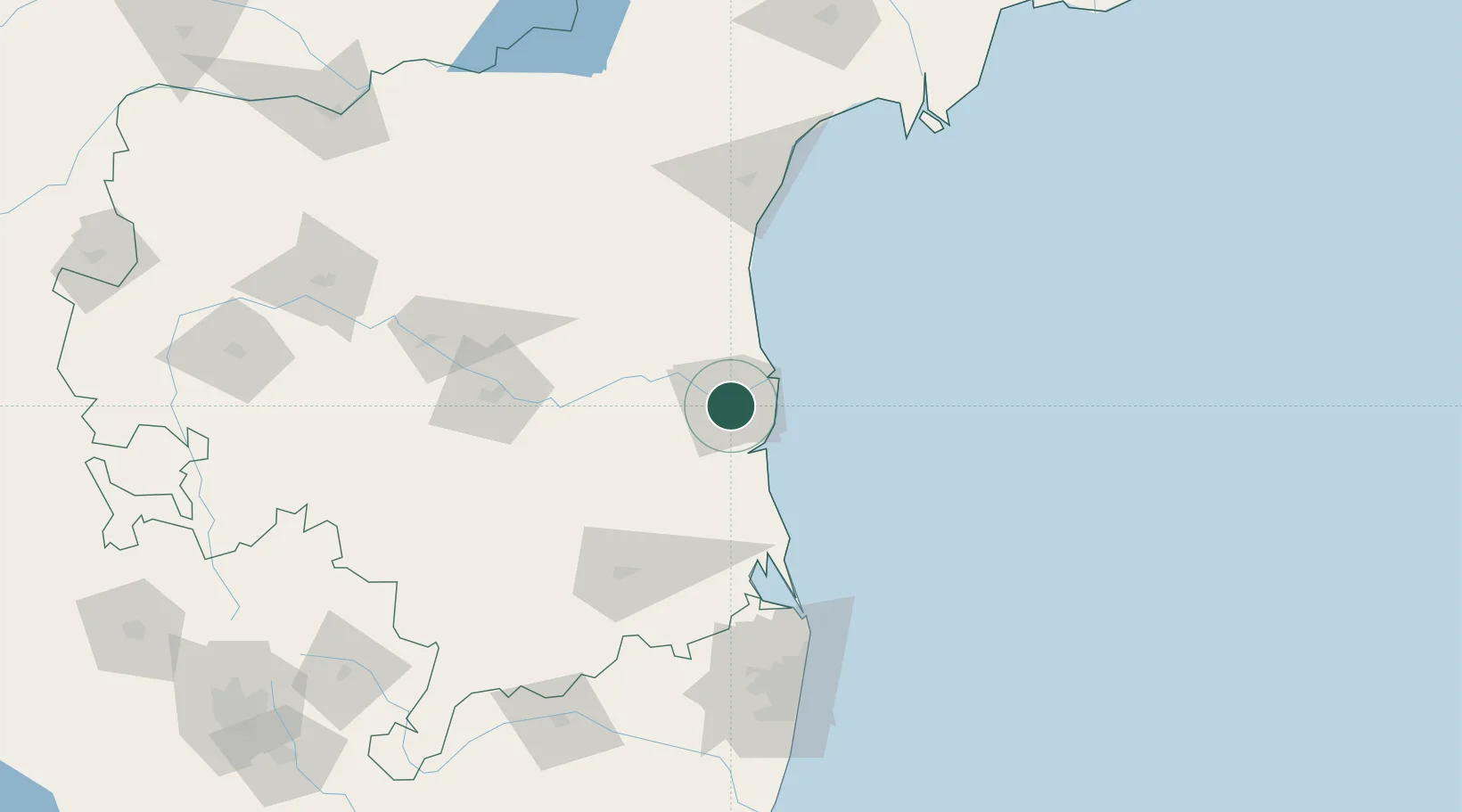
Nearby Logistics Neighbours

Cities
  1. 1Krishnapatnam18 km
  2. 2Güdür36 km
  3. 3Renigunta100 km
  4. 4Sri City Pvt Ltd-SEZ/Satyavedu111 km
  5. 5Nandiambakkam124 km
Nearest neighbours — logibook spatial index (haversine) over the source coordinates
Ports
  1. 1Kattupalli Port27 km
  2. 2Kamarajar Port137 km
  3. 3Chennai (Madras)153 km
  4. 4Pondicherry278 km
  5. 5Cuddalore303 km
Nearest neighbours — logibook spatial index (haversine) over the source coordinates
Airports
  1. 1Tirupati International Airport100 km
  2. 2Kadapa Airport129 km
  3. 3Chennai International Airport162 km
  4. 4Sri Sathya Sai Airport237 km
  5. 5Kurnool Airport240 km
Nearest neighbours — logibook spatial index (haversine) over the source coordinates
Trade Zones
  1. 1Kisan SEZ22 km
  2. 2Apache SEZ Development India Private Limited, Nellore32 km
  3. 3Mas Fabric Park (India) Pvt. Ltd., Nellore33 km
  4. 4S2Tech.com India Pvt.Ltd.86 km
  5. 5Sri City100 km
Nearest neighbours — logibook spatial index (haversine) over the source coordinates
DatabookThe Record of Consolidated Knowledge
India beyond logistics?
Browse databook

All Sources

LocationsUN/LOCODE
UN/LOCODE — free
Portsthe NGA World Port Index
Public domain (US gov)
AirportsOurAirports
Public domain
Trade Zonesthe World Bank SEZ database
CC BY 4.0
Trade ZonesOpen Zone Map
CC BY
← India locations