UN/LOCODE hub · India
INKRI
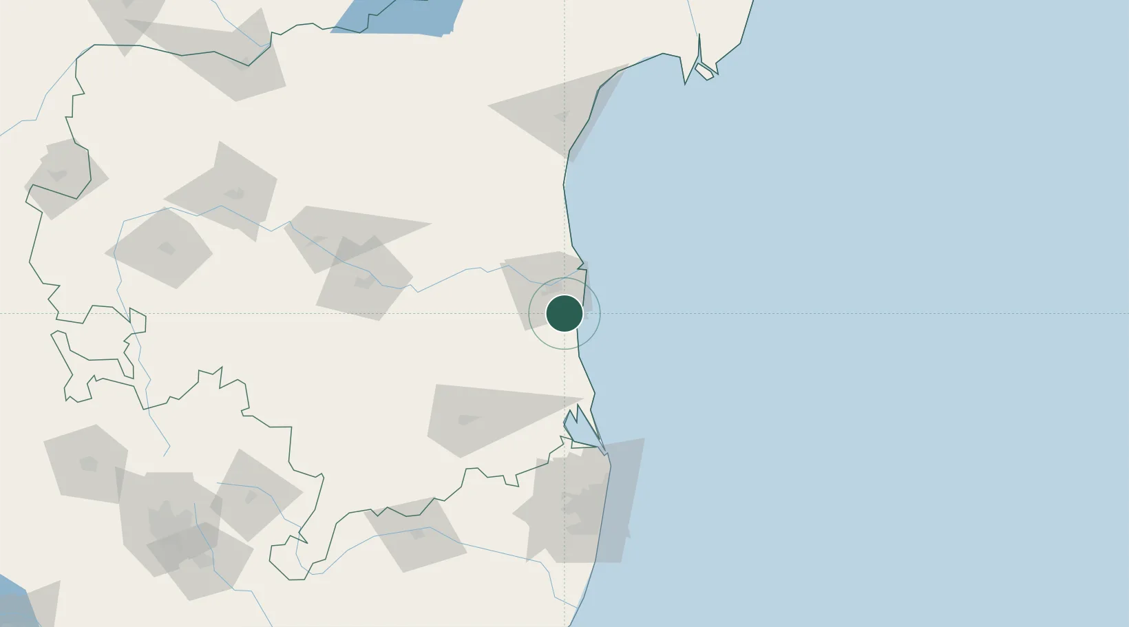
Krishnapatnam
14.2944°, 80.0601°
1
Transport functions
1
Container terminals
Transport Functions
Port
Hub Profile
Region
AP
Logistics facilities
18
Container terminals
1
Location
Nearby Logistics Neighbours
Cities
- 1Asdipl-SEZ/Nellore18 km
- 2Güdür30 km
- 3Renigunta93 km
- 4Sri City Pvt Ltd-SEZ/Satyavedu96 km
- 5Nandiambakkam105 km
Ports
- 1Kamarajar Port119 km
- 2Chennai (Madras)135 km
- 3Pondicherry264 km
- 4Cuddalore288 km
- 5Karaikal Port385 km
Airports
- 1Tirupati International Airport93 km
- 2Kadapa Airport141 km
- 3Chennai International Airport146 km
- 4Sri Sathya Sai Airport245 km
- 5Kurnool Airport257 km
Trade Zones
DatabookThe Record of Consolidated Knowledge
India beyond logistics?