Channel & Berth Profile
Pilotage, Tugs & Services
Pilotage compulsoryNO
Pilotage availableNO
Pilotage advisableNO
Local assistanceNO
Tug assistanceYES
Salvage tugsNO
Potable waterYES
Diesel bunkersNO
MedicalYES
Facilities & Capabilities
Container—
Ro-Ro—
Liquid bulk—
Dry bulk—
Oil terminal—
Break bulk—
Dry dockNO
RepairsNO
BunkeringNO
Rail linkYES
Dangerous cargo—
ISPS security—
Harbour Specifications
Harbour size
Very Small
Harbour type
Open Roadstead
Shelter
Poor
Water body
Bay of Bengal; Indian Ocean
Tidal range
1 m
Pilotage
No
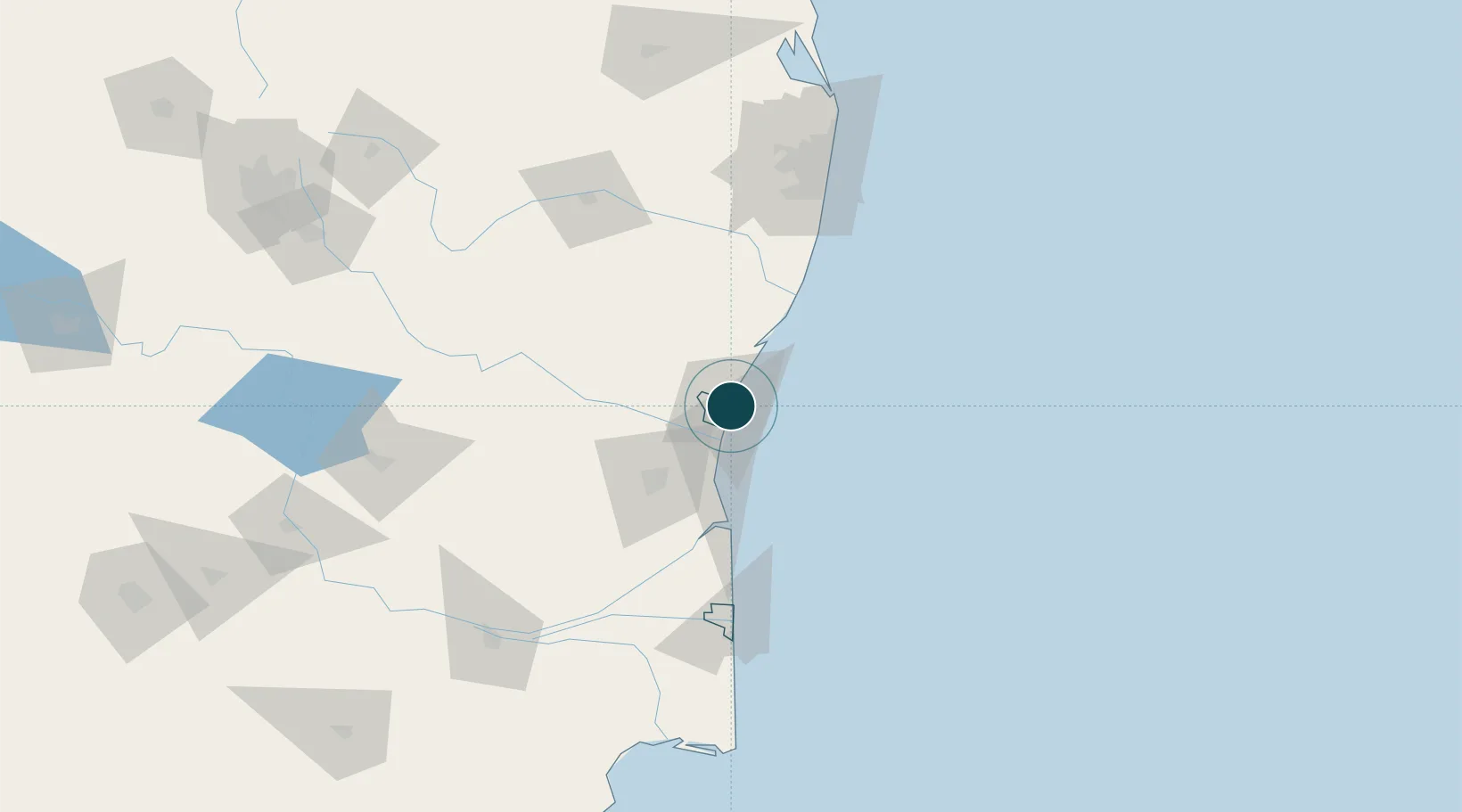
Location
Nearby Logistics Neighbours
Ports
- 1Cuddalore25 km
- 2Karaikal Port122 km
- 3Nagappattinam130 km
- 4Chennai (Madras)139 km
- 5Kamarajar Port158 km
Cities
- 1Chidambaram61 km
- 2MWCDL-Apparels-SEZ/Chengalpattu87 km
- 3MWCDL-IT-SEZ/Chengalpattu87 km
- 4MWCDL-Auto-Ancillaries-SEZ/Chengalpattu87 km
- 5Tiruvannamalai89 km
Airports
- 1Pondicherry Airport5 km
- 2Chennai International Airport123 km
- 3Tiruchirappalli International Airport178 km
- 4Tirupati International Airport192 km
- 5Salem Airport193 km
DatabookThe Record of Consolidated Knowledge
India beyond logistics?