Specialized Zone · India

Genpact Infrastructure (Jaipur) Private Limited Inactive
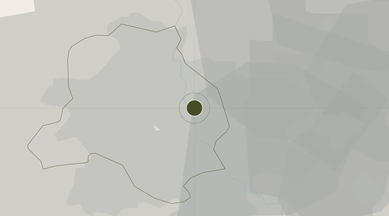
28.6718°, 77.2504°
10 ha
Zone area
908.7 km
Nearest port
10.6 km
Nearest airport

Gateway access

Nearest neighbours — logibook spatial index (haversine) over the source coordinates

Zone profile

Zone type
Specialized Zone
Open Zone Map
Specialization
IT
Open Zone Map
Region
Delhi
Open Zone Map
Status
Inactive
Open Zone Map
Management
Private
Open Zone Map
Operator
Genpact Infrastructure (Jaipur) Private Limited
Open Zone Map
Legal framework
LoA 23(10)/VSEZ/2007 dated 29/05/2007
Open Zone Map

Location

Location of ozm-2200
Natural Earth 10m (public domain) · Delhi · ozm-2200 · 28.67, 77.25GoogleOSMYandex

Nearby Logistics Neighbours

Ports
  1. 1Dahej909 km
  2. 2Bhavnagar919 km
  3. 3Navlakhi931 km
  4. 4Kandla942 km
  5. 5Magdalla951 km
Nearest neighbours — logibook spatial index (haversine) over the source coordinates
Airports
  1. 1Safdarjung Airport11 km
  2. 2Hindon Airport / Hindon Air Force Station11 km
  3. 3Indira Gandhi International Airport20 km
  4. 4Noida International Airport65 km
  5. 5Aligarh Airport126 km
Nearest neighbours — logibook spatial index (haversine) over the source coordinates
Cities
  1. 1Loni7 km
  2. 2Patparganj8 km
  3. 3Loni-1 LCD/Chaziabad9 km
  4. 4New Delhi9 km
  5. 5Sahibabad15 km
Nearest neighbours — logibook spatial index (haversine) over the source coordinates
Trade Zones
  1. 1Parsvnath Developers Limited4 km
  2. 2Agro & Food Processing Special Economic Zone7 km
  3. 3Ansal IT City and Parks Limited13 km
  4. 4Anant Raj Industries, IT Park Rai14 km
  5. 5Hcl Technologies17 km
Nearest neighbours — logibook spatial index (haversine) over the source coordinates
DatabookThe Record of Consolidated Knowledge
India beyond logistics?
Browse databook

All Sources

Trade ZonesOpen Zone Map
CC BY
Portsthe NGA World Port Index
Public domain (US gov)
AirportsOurAirports
Public domain
LocationsUN/LOCODE
UN/LOCODE — free
← India trade zones