Export Processing Zone · India

Parsvnath Developers Limited Active
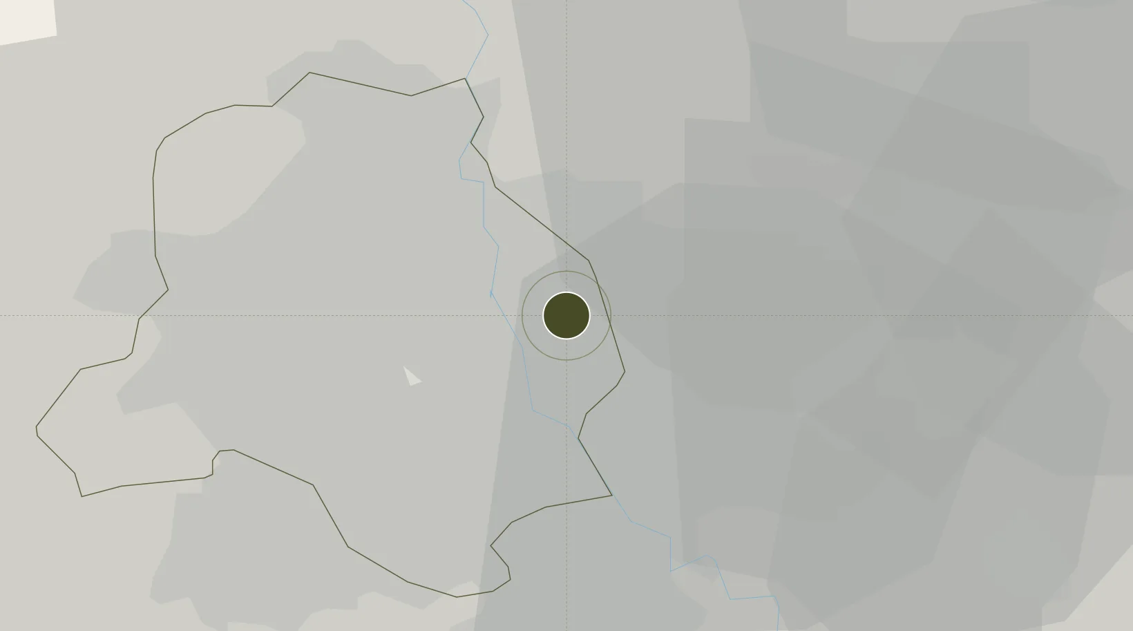
28.6739°, 77.2880°
14 ha
Zone area
910.9 km
Nearest port
7.9 km
Nearest airport

Gateway access

Nearest neighbours — logibook spatial index (haversine) over the source coordinates

Zone profile

Zone type
Export Processing Zone
Open Zone Map
Region
Delhi
Open Zone Map
Status
Active
Open Zone Map
Management
Public
Open Zone Map
Operator
Parsvnath Developers Limited
Open Zone Map
Legal framework
Uttar Pradesh Special Economic Zone Development Act, 2002
Open Zone Map

Location

Location of ozm-2136
Natural Earth 10m (public domain) · Delhi · ozm-2136 · 28.67, 77.29GoogleOSMYandex

Nearby Logistics Neighbours

Ports
  1. 1Dahej911 km
  2. 2Bhavnagar921 km
  3. 3Navlakhi934 km
  4. 4Kandla945 km
  5. 5Magdalla953 km
Nearest neighbours — logibook spatial index (haversine) over the source coordinates
Airports
  1. 1Hindon Airport / Hindon Air Force Station8 km
  2. 2Safdarjung Airport13 km
  3. 3Indira Gandhi International Airport23 km
  4. 4Noida International Airport63 km
  5. 5Aligarh Airport123 km
Nearest neighbours — logibook spatial index (haversine) over the source coordinates
Cities
  1. 1Loni5 km
  2. 2Patparganj5 km
  3. 3Loni-1 LCD/Chaziabad9 km
  4. 4Sahibabad11 km
  5. 5New Delhi12 km
Nearest neighbours — logibook spatial index (haversine) over the source coordinates
Trade Zones
  1. 1Genpact Infrastructure (Jaipur) Private Limited4 km
  2. 2Agro & Food Processing Special Economic Zone6 km
  3. 3Anant Raj Industries, IT Park Rai11 km
  4. 4Ansal IT City and Parks Limited14 km
  5. 5Hcl Technologies16 km
Nearest neighbours — logibook spatial index (haversine) over the source coordinates
DatabookThe Record of Consolidated Knowledge
India beyond logistics?
Browse databook

All Sources

Trade ZonesOpen Zone Map
CC BY
Portsthe NGA World Port Index
Public domain (US gov)
AirportsOurAirports
Public domain
LocationsUN/LOCODE
UN/LOCODE — free
← India trade zones