Large airport · India

Indira Gandhi International AirportVIDP
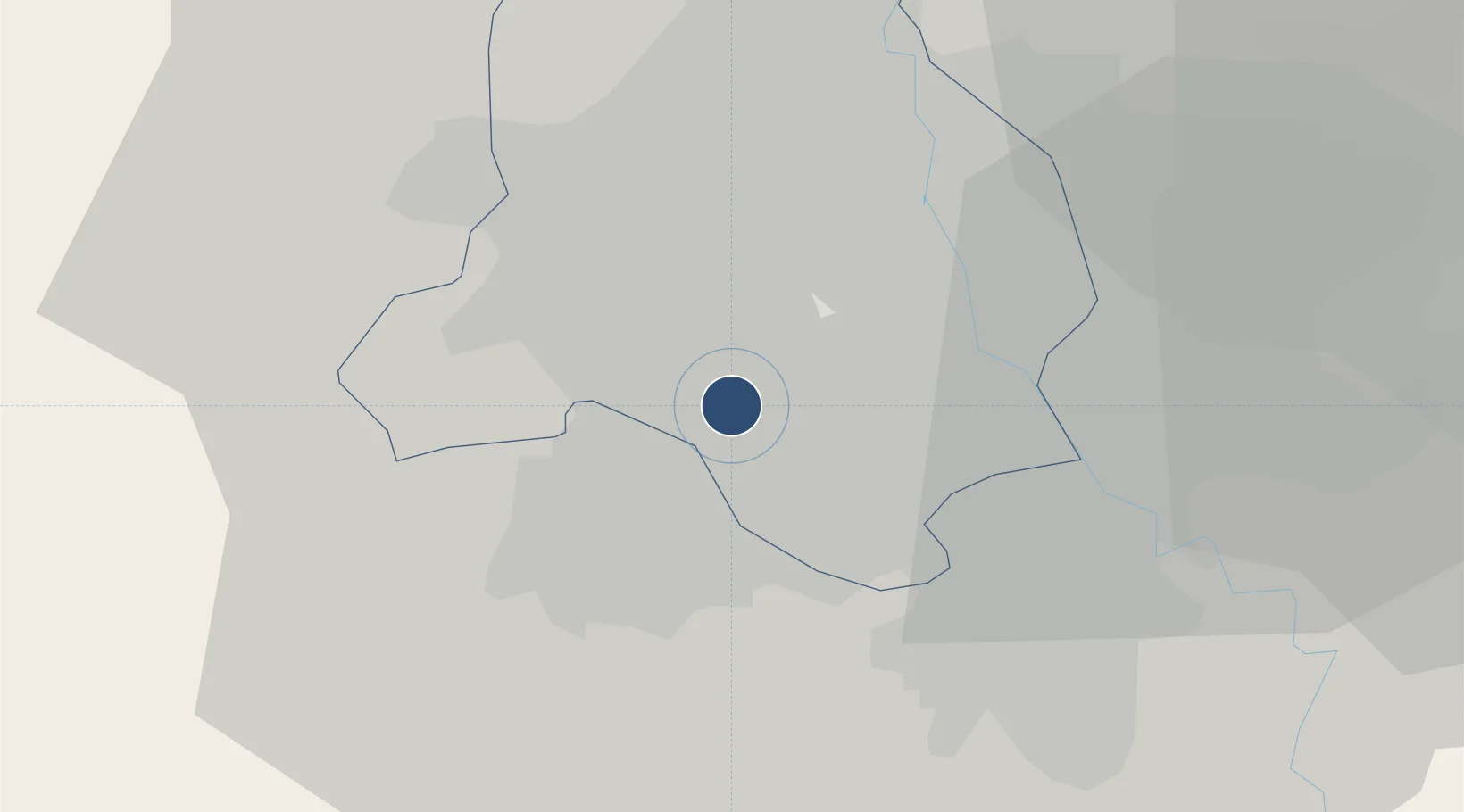
28.5556°, 77.0952°
14,534 ft
Longest runway
4
Runways
777 ft
Elevation

Runway & Layout

Indira Gandhi International Airport runway & taxiway layout
Runway & taxiway layout — OpenStreetMap (ODbL) / OurAirports

Radio Frequencies

ATIS
126.4 MHz
TWR
118.1 MHz
DELHI TWR rwy28/10
TWR
118.25 MHz
DELHI TWR RWY 29/11
TWR
118.75 MHz
DELHI TWR Rwy 27/09
GND
121.625 MHz
SMC
GND
121.9 MHz
DELHI GND
CLD
121.95 MHz
Clearance Delivery
APP
126.35 MHz
DELHI APP
AREA CONTROL (E)
120.9 MHz
DELHI CONTROL
AREA CONTROL (W)
124.55 MHz
DELHI CONTROL
OurAirports

Navaids

DH NDB Delhi 202 kHz
DP NDB Delhi 274 kHz
DPN VOR-DME Delhi 116.10 MHz
LM NDB Delhi 320 kHz
PL NDB Delhi 303 kHz
OurAirports

Runways · 4

RunwayDimensions SurfaceTrue headingLit
11R/29L 14,534 × 197ft ASPH 103°
11L/29R 14,436 × 148ft ASPH 103°
10/28 12,500 × 148ft ASPH 105°
09/27 9,229 × 148ft ASPH 092°
OurAirports

Airport Specifications

IATA code
DEL
OurAirports
ICAO code
VIDP
OurAirports
Airport class
Large airport
OurAirports
Scheduled service
Yes
OurAirports
Runway surface
ASPH
OurAirports
Served city
New Delhi
OurAirports

Location

Location of VIDP
Natural Earth 10m (public domain) · Delhi · VIDP · 28.56, 77.10GoogleOSMYandex

Nearby Logistics Neighbours

Airports
  1. 1Safdarjung Airport11 km
  2. 2Hindon Airport / Hindon Air Force Station31 km
  3. 3Noida International Airport66 km
  4. 4Aligarh Airport129 km
  5. 5Maharaja Agrasen International Airport149 km
Nearest neighbours — logibook spatial index (haversine) over the source coordinates
Cities
  1. 1Dashrath Puri5 km
  2. 2New Delhi11 km
  3. 3Tughlakabad18 km
  4. 4Gopalpur18 km
  5. 5Gurgaon22 km
Nearest neighbours — logibook spatial index (haversine) over the source coordinates
Ports
  1. 1Dahej890 km
  2. 2Bhavnagar899 km
  3. 3Navlakhi911 km
  4. 4Kandla922 km
  5. 5Magdalla933 km
Nearest neighbours — logibook spatial index (haversine) over the source coordinates
Trade Zones
  1. 1Gurgaon Infospace Ltd, Gurgaon6 km
  2. 2Lanco Solar Pvt.Ltd6 km
  3. 3DLF Cyber City, Gurgaon7 km
  4. 4M S. Bharatiya International SEZ Ltd12 km
  5. 5Goldsouk International Specialized Zone (Gems) & Jewellery SEZ Pvt. Ltd.12 km
Nearest neighbours — logibook spatial index (haversine) over the source coordinates
DatabookThe Record of Consolidated Knowledge
India beyond logistics?
Browse databook

All Sources

AirportsOurAirports
Public domain
Portsthe NGA World Port Index
Public domain (US gov)
LocationsUN/LOCODE
UN/LOCODE — free
Trade Zonesthe World Bank SEZ database
CC BY 4.0
Trade ZonesOpen Zone Map
CC BY
InfrastructureOpenStreetMap
ODbL 1.0
← India airports