Transport Functions
Port
Rail
Road
Multimodal
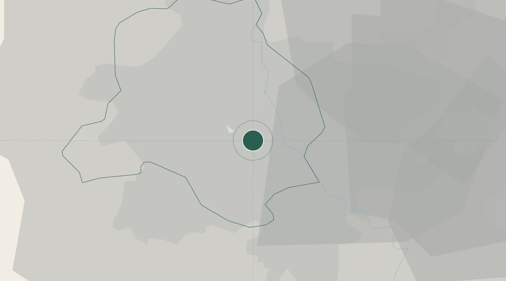
Hub Profile
Place type
National capital
Region
Delhi
Population
317,797
Time zone
Asia/Kolkata
Elevation
211 m
Logistics facilities
1
Location
Nearby Logistics Neighbours
Cities
- 1Dashrath Puri11 km
- 2Patparganj12 km
- 3Tughlakabad13 km
- 4Loni16 km
- 5Loni-1 LCD/Chaziabad19 km
Airports
DatabookThe Record of Consolidated Knowledge
India beyond logistics?