Medium airport · India

Safdarjung AirportVIDD
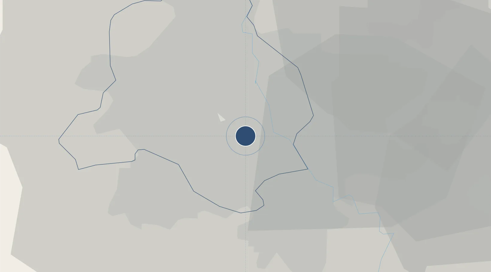
28.5855°, 77.2036°
4,520 ft
Longest runway
1
Runways
705 ft
Elevation

Runway & Layout

Safdarjung Airport runway & taxiway layout
Runway & taxiway layout — OpenStreetMap (ODbL) / OurAirports

Radio Frequencies

TWR
122.3 MHz
APP
126.35 MHz
DELHI APP
OurAirports

Runways · 1

RunwayDimensions SurfaceTrue headingLit
12/30 4,520 × 150ft Asphalt 125°
OurAirports

Airport Specifications

ICAO code
VIDD
OurAirports
Airport class
Medium airport
OurAirports
Scheduled service
No
OurAirports
Runway surface
Asphalt
OurAirports
Served city
New Delhi
OurAirports

Location

Location of VIDD
Natural Earth 10m (public domain) · Delhi · VIDD · 28.59, 77.20GoogleOSMYandex

Nearby Logistics Neighbours

Airports
  1. 1Indira Gandhi International Airport11 km
  2. 2Hindon Airport / Hindon Air Force Station20 km
  3. 3Noida International Airport60 km
  4. 4Aligarh Airport123 km
  5. 5Maharaja Agrasen International Airport157 km
Nearest neighbours — logibook spatial index (haversine) over the source coordinates
Cities
  1. 1New Delhi2 km
  2. 2Tughlakabad11 km
  3. 3Dashrath Puri12 km
  4. 4Patparganj12 km
  5. 5Loni17 km
Nearest neighbours — logibook spatial index (haversine) over the source coordinates
Ports
  1. 1Dahej898 km
  2. 2Bhavnagar908 km
  3. 3Navlakhi921 km
  4. 4Kandla933 km
  5. 5Magdalla941 km
Nearest neighbours — logibook spatial index (haversine) over the source coordinates
DatabookThe Record of Consolidated Knowledge
India beyond logistics?
Browse databook

All Sources

AirportsOurAirports
Public domain
Portsthe NGA World Port Index
Public domain (US gov)
LocationsUN/LOCODE
UN/LOCODE — free
Trade Zonesthe World Bank SEZ database
CC BY 4.0
Trade ZonesOpen Zone Map
CC BY
InfrastructureOpenStreetMap
ODbL 1.0
← India airports