UN/LOCODE hub · India
INSHB

Sahibabad

28.6833°, 77.4000°
2
Transport functions

Transport Functions

Rail
Road
UN/LOCODE

Hub Profile

Place type
Urban district
GeoNames
Region
Uttar Pradesh
GeoNames
Time zone
Asia/Kolkata
GeoNames
Elevation
204 m
GeoNames

Location

Location of INSHB
Natural Earth 10m (public domain) · Uttar Pradesh · INSHB · 28.68, 77.40GoogleOSMYandex

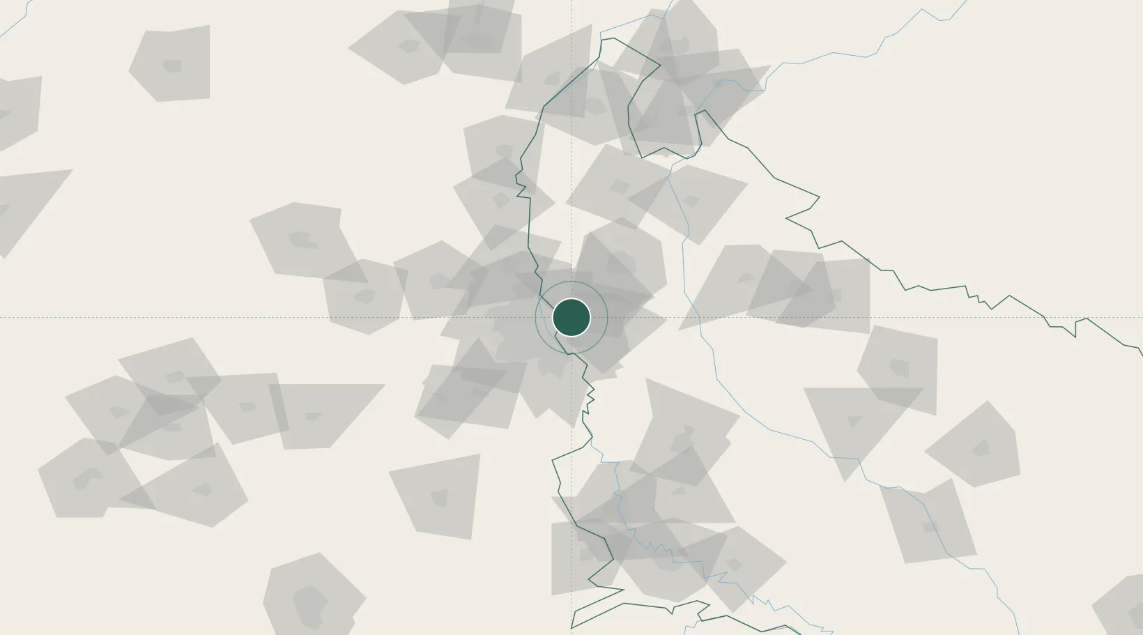
Nearby Logistics Neighbours

Cities
  1. 1Ghaziabad4 km
  2. 2Loni10 km
  3. 3Patparganj10 km
  4. 4Loni-1 LCD/Chaziabad14 km
  5. 5Greater Noida17 km
Nearest neighbours — logibook spatial index (haversine) over the source coordinates
Ports
  1. 1Dahej918 km
  2. 2Bhavnagar928 km
  3. 3Navlakhi943 km
  4. 4Kandla954 km
  5. 5Magdalla960 km
Nearest neighbours — logibook spatial index (haversine) over the source coordinates
Airports
  1. 1Hindon Airport / Hindon Air Force Station5 km
  2. 2Safdarjung Airport22 km
  3. 3Indira Gandhi International Airport33 km
  4. 4Noida International Airport60 km
  5. 5Aligarh Airport117 km
Nearest neighbours — logibook spatial index (haversine) over the source coordinates
Trade Zones
  1. 1Anant Raj Industries, IT Park Rai8 km
  2. 2Parsvnath Developers Limited11 km
  3. 3Agro & Food Processing Special Economic Zone13 km
  4. 4Genpact Infrastructure (Jaipur) Private Limited15 km
  5. 5Noida Special Economic Zone16 km
Nearest neighbours — logibook spatial index (haversine) over the source coordinates
DatabookThe Record of Consolidated Knowledge
India beyond logistics?
Browse databook

All Sources

LocationsUN/LOCODE
UN/LOCODE — free
Portsthe NGA World Port Index
Public domain (US gov)
AirportsOurAirports
Public domain
Trade Zonesthe World Bank SEZ database
CC BY 4.0
Trade ZonesOpen Zone Map
CC BY
← India locations