Channel & Berth Profile
Pilotage, Tugs & Services
Pilotage compulsoryNO
Pilotage availableYES
Pilotage advisableYES
Local assistanceYES
Potable waterYES
MedicalYES
Garbage disposalYES
Facilities & Capabilities
Container—
Ro-Ro—
Liquid bulk—
Dry bulk—
Oil terminal—
Break bulk—
Dry dockNO
RepairsNO
BunkeringYES
Rail linkYES
Dangerous cargo—
ISPS security—
Harbour Specifications
Harbour size
Very Small
Harbour type
River (Natural)
Shelter
Good
Water body
Arabian Sea; Indian Ocean
Tidal range
5 m
Overhead limit
No
Pilotage
No
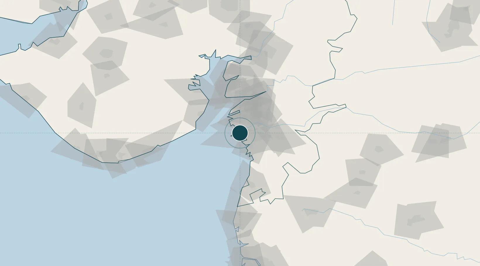
Location
Nearby Logistics Neighbours
Ports
- 1Hazira14 km
- 2Dahej65 km
- 3Bhavnagar87 km
- 4Pipavav Bandar131 km
- 5Jafarabad145 km
Cities
- 1Kril ICD6 km
- 2SHB ICD/Surat7 km
- 3Sap-SEZ/Surat9 km
- 4Ghb-SEZ/Surat9 km
- 5Surat10 km
Airports
- 1Surat International Airport4 km
- 2Daman Airport80 km
- 3Bhavnagar Airport89 km
- 4Vadodara International Airport141 km
- 5Nashik International Airport167 km
Trade Zones
DatabookThe Record of Consolidated Knowledge
India beyond logistics?