UN/LOCODE hub · India
INPPG

Patparganj

28.6361°, 77.3161°
2
Transport functions

Transport Functions

Road
Multimodal
UN/LOCODE

Hub Profile

Place type
Urban district
GeoNames
Region
Delhi
GeoNames
Time zone
Asia/Kolkata
GeoNames
Elevation
206 m
GeoNames
Logistics facilities
1
UN/LOCODE

Location

Location of INPPG
Natural Earth 10m (public domain) · Delhi · INPPG · 28.64, 77.32GoogleOSMYandex

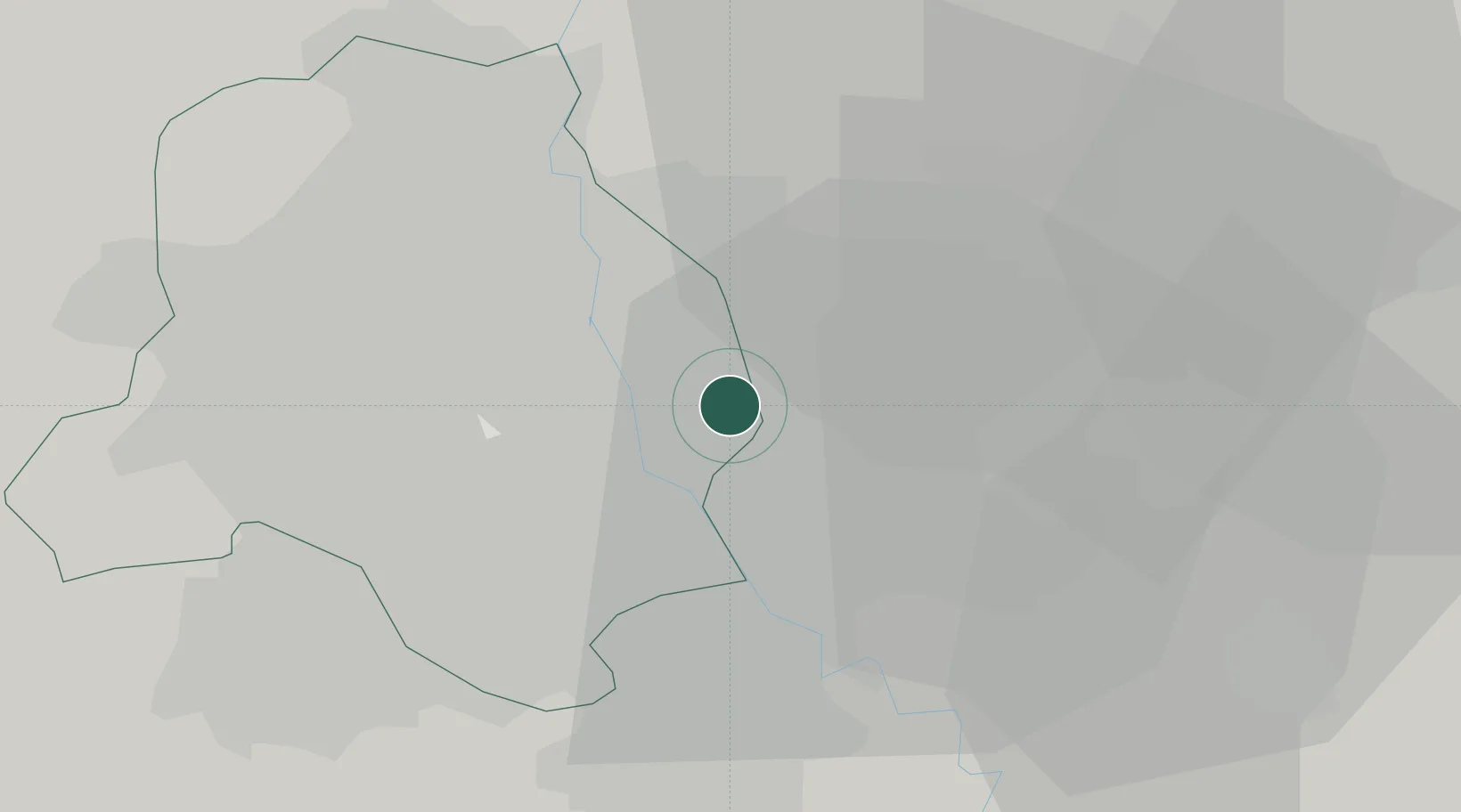
Nearby Logistics Neighbours

Cities
  1. 1Loni8 km
  2. 2Sahibabad10 km
  3. 3Ghaziabad12 km
  4. 4New Delhi12 km
  5. 5Loni-1 LCD/Chaziabad13 km
Nearest neighbours — logibook spatial index (haversine) over the source coordinates
Ports
  1. 1Dahej909 km
  2. 2Bhavnagar919 km
  3. 3Navlakhi933 km
  4. 4Kandla945 km
  5. 5Magdalla951 km
Nearest neighbours — logibook spatial index (haversine) over the source coordinates
Airports
  1. 1Hindon Airport / Hindon Air Force Station9 km
  2. 2Safdarjung Airport12 km
  3. 3Indira Gandhi International Airport23 km
  4. 4Noida International Airport58 km
  5. 5Aligarh Airport118 km
Nearest neighbours — logibook spatial index (haversine) over the source coordinates
Trade Zones
  1. 1Agro & Food Processing Special Economic Zone3 km
  2. 2Parsvnath Developers Limited5 km
  3. 3Anant Raj Industries, IT Park Rai7 km
  4. 4Genpact Infrastructure (Jaipur) Private Limited8 km
  5. 5Hcl Technologies11 km
Nearest neighbours — logibook spatial index (haversine) over the source coordinates
DatabookThe Record of Consolidated Knowledge
India beyond logistics?
Browse databook

All Sources

LocationsUN/LOCODE
UN/LOCODE — free
Portsthe NGA World Port Index
Public domain (US gov)
AirportsOurAirports
Public domain
Trade Zonesthe World Bank SEZ database
CC BY 4.0
Trade ZonesOpen Zone Map
CC BY
← India locations