Specialized Zone · India

Agro & Food Processing Special Economic Zone Active
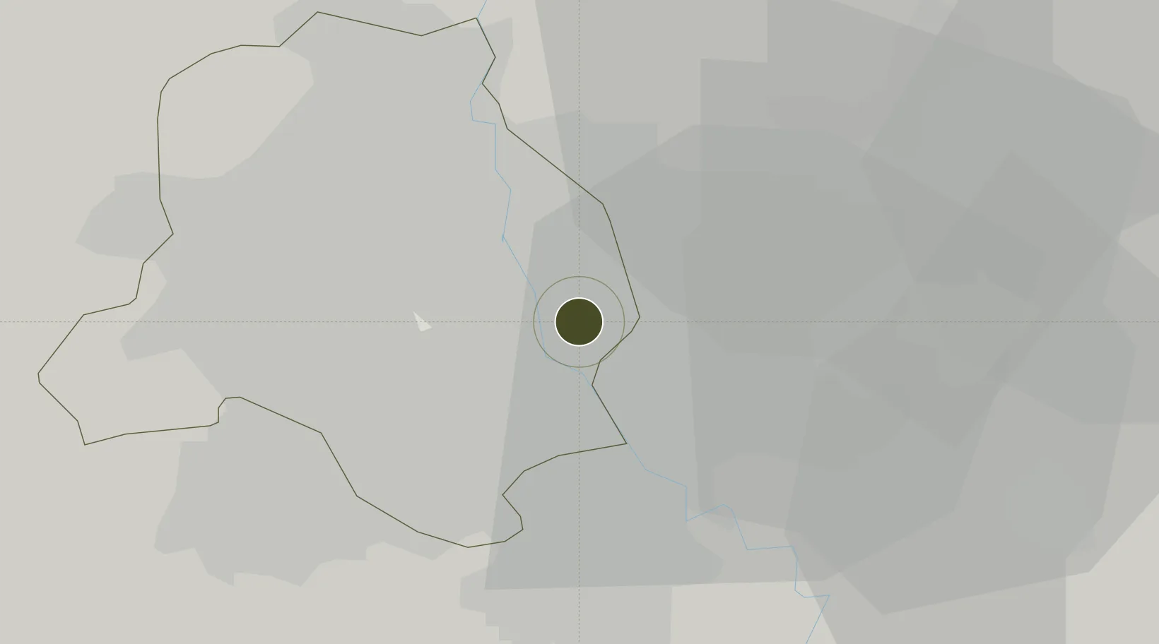
28.6221°, 77.2871°
50 ha
Zone area
906.0 km
Nearest port
9.1 km
Nearest airport

Gateway access

Nearest neighbours — logibook spatial index (haversine) over the source coordinates

Zone profile

Zone type
Specialized Zone
Open Zone Map
Specialization
Agriculture
Open Zone Map
Region
Delhi
Open Zone Map
Status
Active
Open Zone Map
Management
Public
Open Zone Map
Operator
Nagaland Industrial Development Corporation Limited
Open Zone Map
Legal framework
The Nagaland Special Economic Zone Act, 2009 (Act No. 6 of 2010)
Open Zone Map

Location

Location of ozm-2154
Natural Earth 10m (public domain) · Delhi · ozm-2154 · 28.62, 77.29GoogleOSMYandex

Nearby Logistics Neighbours

Ports
  1. 1Dahej906 km
  2. 2Bhavnagar916 km
  3. 3Navlakhi930 km
  4. 4Kandla941 km
  5. 5Magdalla948 km
Nearest neighbours — logibook spatial index (haversine) over the source coordinates
Airports
  1. 1Safdarjung Airport9 km
  2. 2Hindon Airport / Hindon Air Force Station12 km
  3. 3Indira Gandhi International Airport20 km
  4. 4Noida International Airport59 km
  5. 5Aligarh Airport119 km
Nearest neighbours — logibook spatial index (haversine) over the source coordinates
Cities
  1. 1Patparganj3 km
  2. 2New Delhi9 km
  3. 3Loni10 km
  4. 4Sahibabad13 km
  5. 5Tughlakabad14 km
Nearest neighbours — logibook spatial index (haversine) over the source coordinates
Trade Zones
  1. 1Parsvnath Developers Limited6 km
  2. 2Genpact Infrastructure (Jaipur) Private Limited7 km
  3. 3Ansal IT City and Parks Limited9 km
  4. 4Anant Raj Industries, IT Park Rai9 km
  5. 5Hcl Technologies11 km
Nearest neighbours — logibook spatial index (haversine) over the source coordinates
DatabookThe Record of Consolidated Knowledge
India beyond logistics?
Browse databook

All Sources

Trade ZonesOpen Zone Map
CC BY
Portsthe NGA World Port Index
Public domain (US gov)
AirportsOurAirports
Public domain
LocationsUN/LOCODE
UN/LOCODE — free
← India trade zones