Export Processing Zone · India

Anant Raj Industries, IT Park Rai Under Development
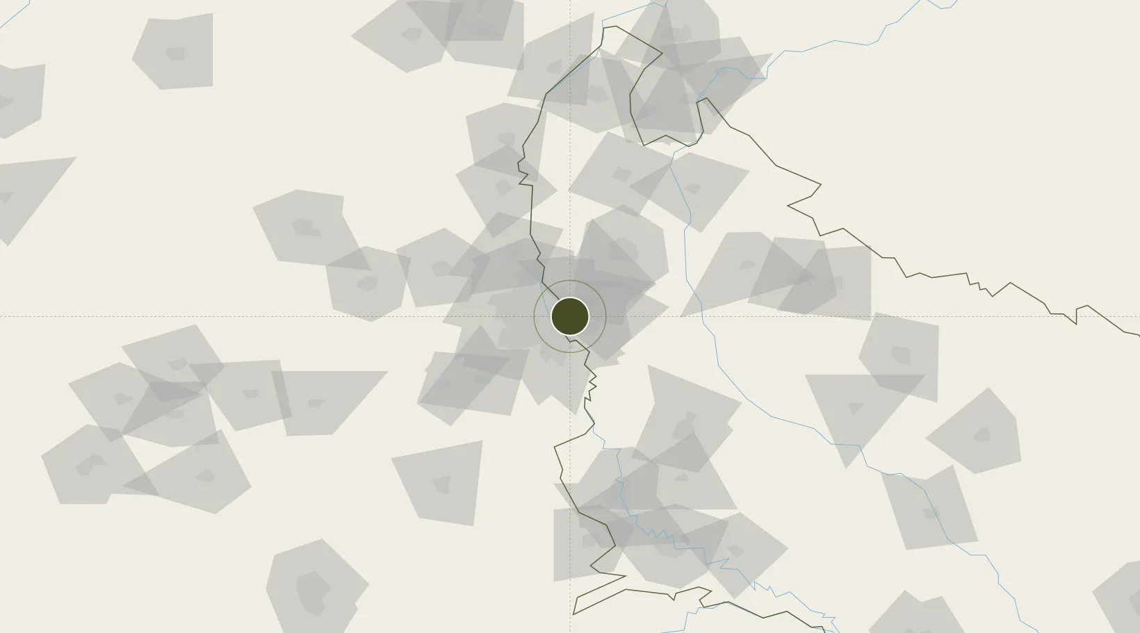
28.6108°, 77.3784°
10 ha
Zone area
909.8 km
Nearest port
10.9 km
Nearest airport

Gateway access

Nearest neighbours — logibook spatial index (haversine) over the source coordinates

Zone profile

Zone type
Export Processing Zone
Open Zone Map
Region
Uttar Pradesh
Open Zone Map
Status
Under Development
Open Zone Map
Management
Private
Open Zone Map
Operator
Anant Raj Group
Open Zone Map
Legal framework
Rajasthan Special Economic Zones Development Act, 2003
Open Zone Map

Location

Location of ozm-2134
Natural Earth 10m (public domain) · Uttar Pradesh · ozm-2134 · 28.61, 77.38GoogleOSMYandex

Nearby Logistics Neighbours

Ports
  1. 1Dahej910 km
  2. 2Bhavnagar920 km
  3. 3Navlakhi936 km
  4. 4Kandla948 km
  5. 5Magdalla952 km
Nearest neighbours — logibook spatial index (haversine) over the source coordinates
Airports
  1. 1Hindon Airport / Hindon Air Force Station11 km
  2. 2Safdarjung Airport17 km
  3. 3Indira Gandhi International Airport28 km
  4. 4Noida International Airport53 km
  5. 5Aligarh Airport112 km
Nearest neighbours — logibook spatial index (haversine) over the source coordinates
Cities
  1. 1Patparganj7 km
  2. 2Ghaziabad8 km
  3. 3Sahibabad8 km
  4. 4Greater Noida10 km
  5. 5Loni13 km
Nearest neighbours — logibook spatial index (haversine) over the source coordinates
Trade Zones
  1. 1Noida Special Economic Zone8 km
  2. 2Unitech Realty Projects Ltd.8 km
  3. 3Hcl Technologies9 km
  4. 4Agro & Food Processing Special Economic Zone9 km
  5. 5Parsvnath Developers Limited11 km
Nearest neighbours — logibook spatial index (haversine) over the source coordinates
DatabookThe Record of Consolidated Knowledge
India beyond logistics?
Browse databook

All Sources

Trade ZonesOpen Zone Map
CC BY
Portsthe NGA World Port Index
Public domain (US gov)
AirportsOurAirports
Public domain
LocationsUN/LOCODE
UN/LOCODE — free
← India trade zones