Small airport · India
Aligarh AirportVIAH
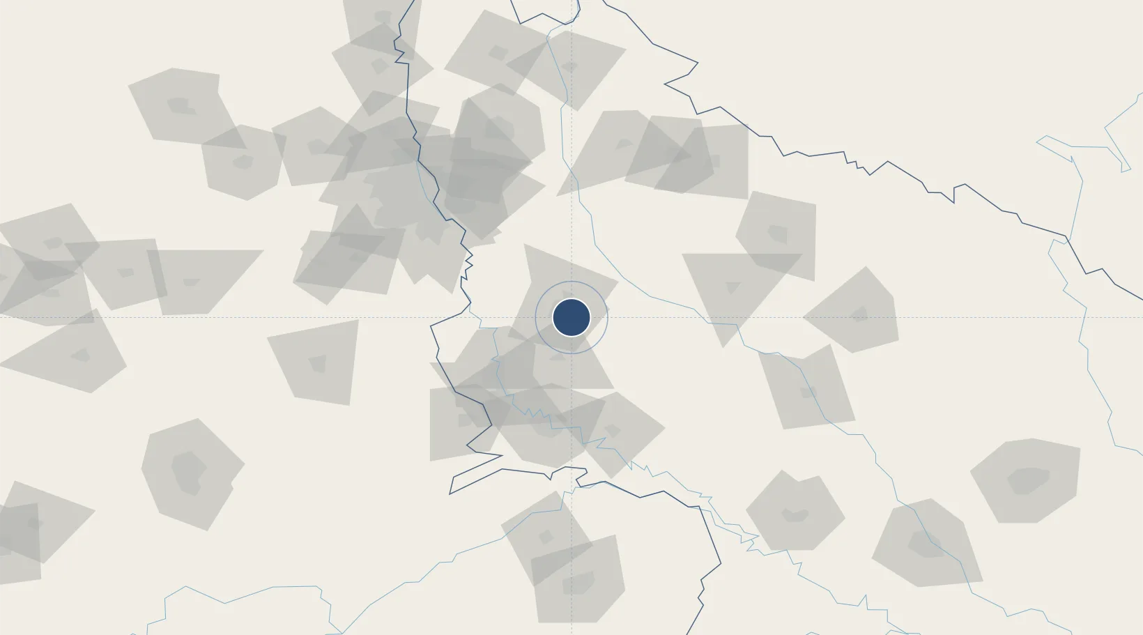
27.8614°, 78.1454°
4,882 ft
Longest runway
1
Runways
619 ft
Elevation
Runway & Layout

Radio Frequencies
TWR
122.625 MHz
Runways · 1
| Runway | Dimensions | Surface | True heading | Lit |
|---|---|---|---|---|
| 11/29 | 4,882 × 75ft | ASPH | — | — |
Airport Specifications
IATA code
HRH
ICAO code
VIAH
Airport class
Small airport
Scheduled service
Yes
Runway surface
ASPH
Served city
Aligarh
Location
Nearby Logistics Neighbours
Airports
Cities
- 1Ibrahimpur Icd/Khurja53 km
- 2Agra75 km
- 3Palwal ICD89 km
- 4Piyala Block Hut90 km
- 5GRFL ICD/Ballabhgarh93 km
Trade Zones
- 1Moser Baer SEZ, Greater Noida97 km
- 2Vedanta Aluminium Limited97 km
- 3TCS Noida102 km
- 4Noida Special Economic Zone105 km
- 5Unitech Realty Projects Ltd.109 km
DatabookThe Record of Consolidated Knowledge
India beyond logistics?