Large airport · India

Noida International AirportIN-0392

28.1799°, 77.6118°
644 ft
Elevation

Runway & Layout

Noida International Airport runway & taxiway layout
Runway & taxiway layout — OpenStreetMap (ODbL) / OurAirports

Airport Specifications

IATA code
DXN
OurAirports
ICAO code
VIND
OurAirports
Airport class
Large airport
OurAirports
Scheduled service
No
OurAirports
Served city
Gautam Buddha Nagar
OurAirports

Location

Location of IN-0392
Natural Earth 10m (public domain) · Uttar Pradesh · IN-0392 · 28.18, 77.61GoogleOSMYandex

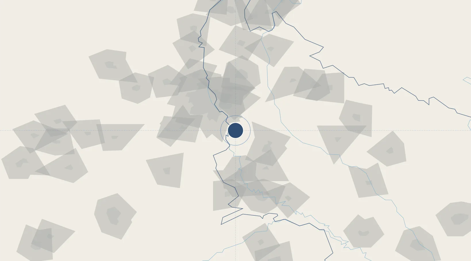
Nearby Logistics Neighbours

Airports
  1. 1Safdarjung Airport60 km
  2. 2Aligarh Airport63 km
  3. 3Hindon Airport / Hindon Air Force Station64 km
  4. 4Indira Gandhi International Airport66 km
  5. 5Agra Airport / Agra Air Force Station119 km
Nearest neighbours — logibook spatial index (haversine) over the source coordinates
Cities
  1. 1Ibrahimpur Icd/Khurja27 km
  2. 2Palwal ICD28 km
  3. 3GRFL ICD/Ballabhgarh30 km
  4. 4Piyala Block Hut31 km
  5. 5Concor-ICD/Ballabhgarh35 km
Nearest neighbours — logibook spatial index (haversine) over the source coordinates
Ports
  1. 1Dahej884 km
  2. 2Bhavnagar896 km
  3. 3Magdalla923 km
  4. 4Navlakhi924 km
  5. 5Hazira936 km
Nearest neighbours — logibook spatial index (haversine) over the source coordinates
Trade Zones
  1. 1Moser Baer SEZ, Greater Noida39 km
  2. 2Vedanta Aluminium Limited39 km
  3. 3TCS Noida41 km
  4. 4Noida Special Economic Zone45 km
  5. 5Unitech Realty Projects Ltd.48 km
Nearest neighbours — logibook spatial index (haversine) over the source coordinates
DatabookThe Record of Consolidated Knowledge
India beyond logistics?
Browse databook

All Sources

AirportsOurAirports
Public domain
Portsthe NGA World Port Index
Public domain (US gov)
LocationsUN/LOCODE
UN/LOCODE — free
Trade Zonesthe World Bank SEZ database
CC BY 4.0
Trade ZonesOpen Zone Map
CC BY
InfrastructureOpenStreetMap
ODbL 1.0
← India airports