Seaport · India
KandlaINIXY
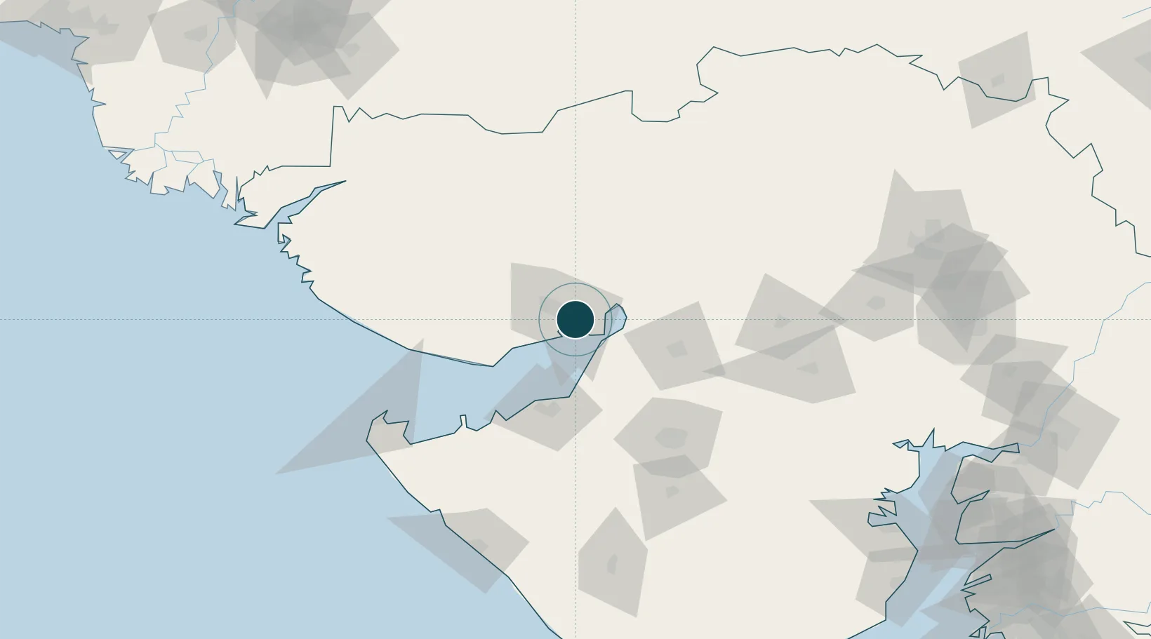
23.0333°, 70.2167°
14.0 m
Channel depth
1
Container terminals
91.7
Port liner connectivity
Channel & Berth Profile
Pilotage, Tugs & Services
Pilotage compulsoryYES
Pilotage availableYES
Tug assistanceYES
Potable waterYES
MedicalYES
Facilities & Capabilities
Container—
Ro-Ro—
Liquid bulk—
Dry bulk—
Oil terminal—
Break bulk—
Dry dockNO
RepairsNO
BunkeringYES
Rail linkYES
Dangerous cargo—
ISPS security—
Harbour Specifications
Harbour size
Small
Harbour type
River (Natural)
Shelter
Fair
Water body
Arabian Sea; Indian Ocean
Tidal range
6 m
Overhead limit
No
Pilotage
Yes
Liner Connectivity
91.7
PLSCI
Port Liner Shipping Connectivity Index for Kandla, as published by UNCTAD for the latest available quarter. Higher values indicate stronger scheduled liner-shipping integration.
Shown relative to the highest per-port PLSCI in the dataset (1,657.9).
Location
Container Terminals · 1
KANDLA INTERNATIONAL CONTAINER TERMINAL (KICT)
KICT J M BAXI GROUP
Nearby Logistics Neighbours
Ports
- 1Navlakhi25 km
- 2Bedi54 km
- 3Mundra62 km
- 4Sikka77 km
- 5Vadinar Terminal85 km
Cities
- 1Kandla-SEZ/Gandhidham3 km
- 2OPGS SEZ/Gandhidham10 km
- 3Gandhidham10 km
- 4Welspun Anjar-SEZ/Anjar23 km
- 5Rozi55 km
Airports
- 1Kandla Airport15 km
- 2Bhuj Airport63 km
- 3Jamnagar Airport67 km
- 4Rajkot Airport99 km
- 5Rajkot International Airport111 km
Trade Zones
DatabookThe Record of Consolidated Knowledge
India beyond logistics?