Export Processing Zone · India

Ansal IT City and Parks Limited Active
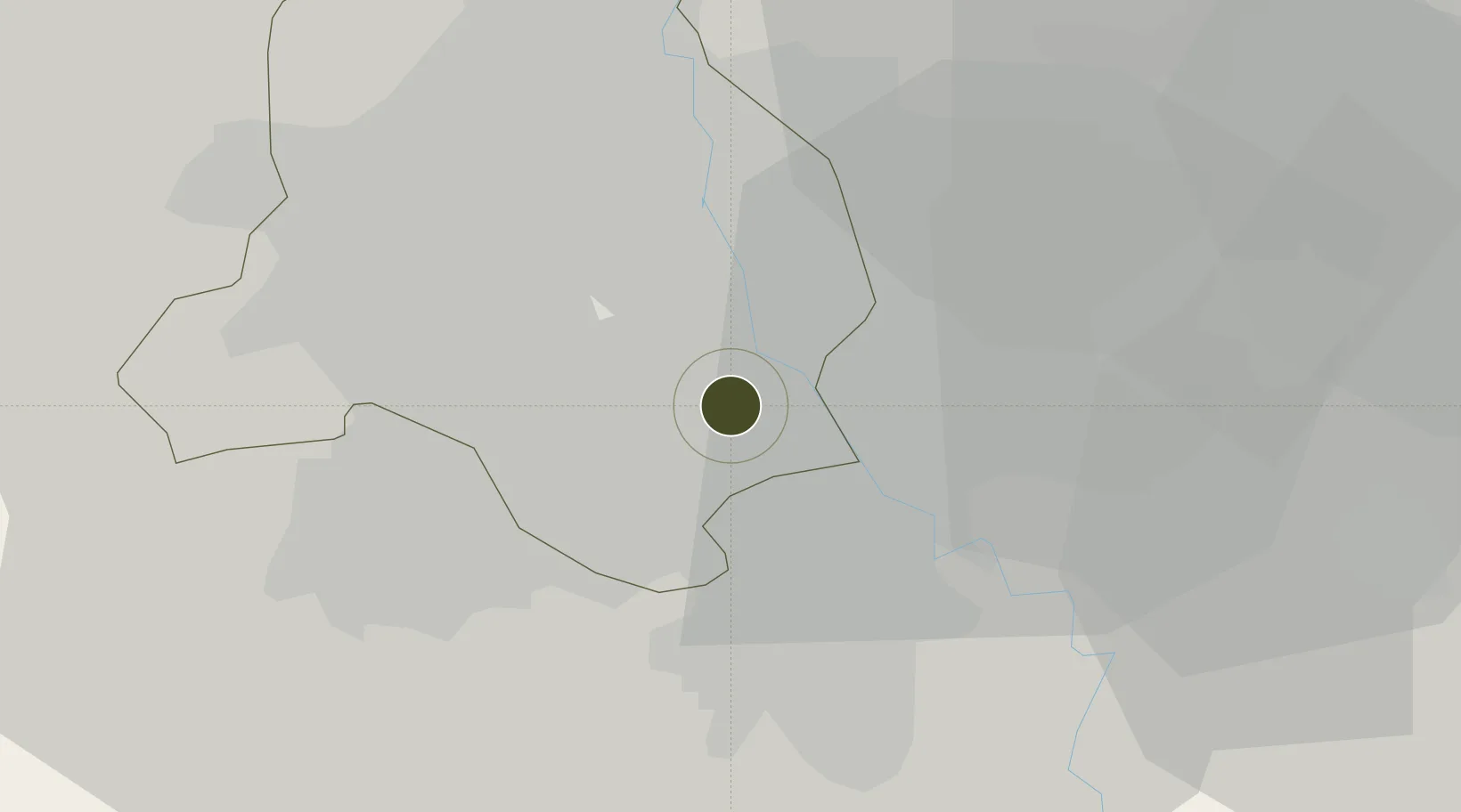
28.5571°, 77.2418°
30 ha
Zone area
897.5 km
Nearest port
4.9 km
Nearest airport

Gateway access

Nearest neighbours — logibook spatial index (haversine) over the source coordinates

Zone profile

Zone type
Export Processing Zone
Open Zone Map
Region
Delhi
Open Zone Map
Status
Active
Open Zone Map
Management
Public
Open Zone Map
Operator
Ansal IT City and Parks Limited
Open Zone Map
Legal framework
Uttar Pradesh Special Economic Zone Development Act, 2002
Open Zone Map

Location

Location of ozm-2140
Natural Earth 10m (public domain) · Delhi · ozm-2140 · 28.56, 77.24GoogleOSMYandex

Nearby Logistics Neighbours

Ports
  1. 1Dahej898 km
  2. 2Bhavnagar908 km
  3. 3Navlakhi922 km
  4. 4Kandla933 km
  5. 5Magdalla940 km
Nearest neighbours — logibook spatial index (haversine) over the source coordinates
Airports
  1. 1Safdarjung Airport5 km
  2. 2Indira Gandhi International Airport14 km
  3. 3Hindon Airport / Hindon Air Force Station20 km
  4. 4Noida International Airport55 km
  5. 5Aligarh Airport118 km
Nearest neighbours — logibook spatial index (haversine) over the source coordinates
Cities
  1. 1New Delhi6 km
  2. 2Tughlakabad7 km
  3. 3Patparganj11 km
  4. 4Dashrath Puri16 km
  5. 5Greater Noida17 km
Nearest neighbours — logibook spatial index (haversine) over the source coordinates
Trade Zones
  1. 1Espire Infrastructure Corporation Limited6 km
  2. 2Dr. Fresh Healthcare Pvt. Ltd.7 km
  3. 3Agro & Food Processing Special Economic Zone9 km
  4. 4Hcl Technologies10 km
  5. 5Unitech Realty Projects Ltd.11 km
Nearest neighbours — logibook spatial index (haversine) over the source coordinates
DatabookThe Record of Consolidated Knowledge
India beyond logistics?
Browse databook

All Sources

Trade ZonesOpen Zone Map
CC BY
Portsthe NGA World Port Index
Public domain (US gov)
AirportsOurAirports
Public domain
LocationsUN/LOCODE
UN/LOCODE — free
← India trade zones