Small airport · India

Hindon Airport / Hindon Air Force StationVIDX
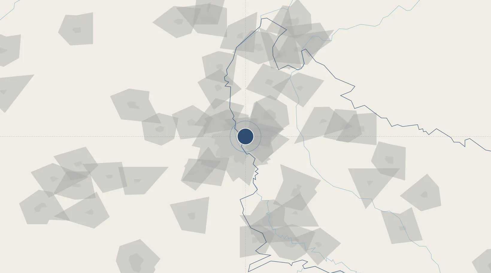
28.7077°, 77.3589°
9,000 ft
Longest runway
1
Runways
700 ft
Elevation

Runway & Layout

Hindon Airport / Hindon Air Force Station runway & taxiway layout
Runway & taxiway layout — OpenStreetMap (ODbL) / OurAirports

Radio Frequencies

TWR
122.7 MHz
OurAirports

Runways · 1

RunwayDimensions SurfaceTrue headingLit
09/27 9,000 × 150ft Asphalt / concrete 090°
OurAirports

Airport Specifications

IATA code
HDO
OurAirports
ICAO code
VIDX
OurAirports
Airport class
Small airport
OurAirports
Scheduled service
Yes
OurAirports
Runway surface
Asphalt / concrete
OurAirports
Served city
Ghaziabad
OurAirports

Location

Location of VIDX
Natural Earth 10m (public domain) · Uttar Pradesh · VIDX · 28.71, 77.36GoogleOSMYandex

Nearby Logistics Neighbours

Airports
  1. 1Safdarjung Airport20 km
  2. 2Indira Gandhi International Airport31 km
  3. 3Noida International Airport64 km
  4. 4Aligarh Airport122 km
  5. 5Moradabad Airport153 km
Nearest neighbours — logibook spatial index (haversine) over the source coordinates
Cities
  1. 1Sahibabad5 km
  2. 2Loni5 km
  3. 3Ghaziabad9 km
  4. 4Loni-1 LCD/Chaziabad9 km
  5. 5Patparganj9 km
Nearest neighbours — logibook spatial index (haversine) over the source coordinates
Ports
  1. 1Dahej918 km
  2. 2Bhavnagar928 km
  3. 3Navlakhi942 km
  4. 4Kandla953 km
  5. 5Magdalla960 km
Nearest neighbours — logibook spatial index (haversine) over the source coordinates
Trade Zones
  1. 1Parsvnath Developers Limited8 km
  2. 2Anant Raj Industries, IT Park Rai11 km
  3. 3Genpact Infrastructure (Jaipur) Private Limited11 km
  4. 4Agro & Food Processing Special Economic Zone12 km
  5. 5Unitech Realty Projects Ltd.19 km
Nearest neighbours — logibook spatial index (haversine) over the source coordinates
DatabookThe Record of Consolidated Knowledge
India beyond logistics?
Browse databook

All Sources

AirportsOurAirports
Public domain
Portsthe NGA World Port Index
Public domain (US gov)
LocationsUN/LOCODE
UN/LOCODE — free
Trade Zonesthe World Bank SEZ database
CC BY 4.0
Trade ZonesOpen Zone Map
CC BY
InfrastructureOpenStreetMap
ODbL 1.0
← India airports