Specialized Zone · India

Hcl Technologies Active
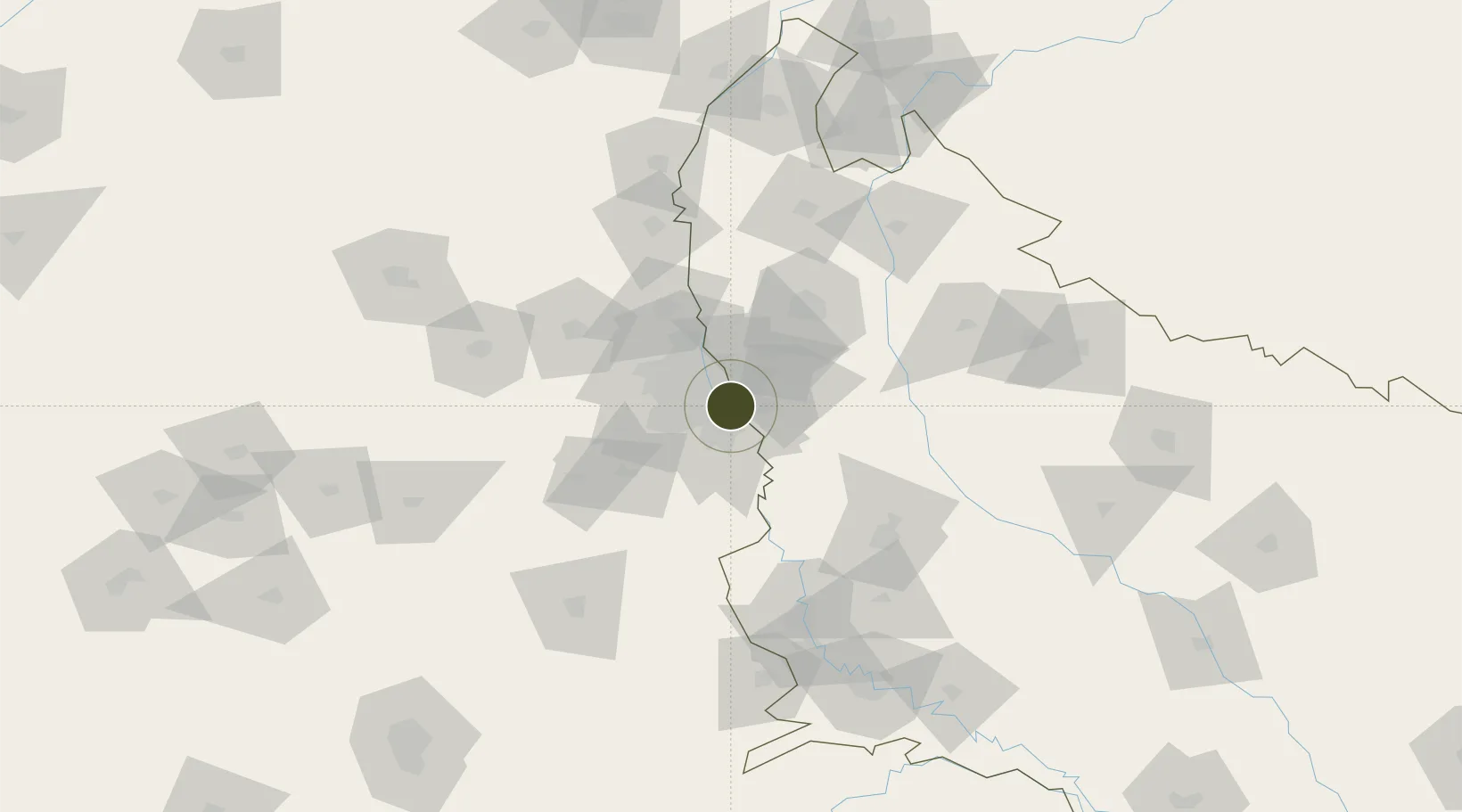
28.5382°, 77.3386°
18 ha
Zone area
901.0 km
Nearest port
14.2 km
Nearest airport

Gateway access

Nearest neighbours — logibook spatial index (haversine) over the source coordinates

Zone profile

Zone type
Specialized Zone
Open Zone Map
Specialization
IT
Open Zone Map
Region
Uttar Pradesh
Open Zone Map
Status
Active
Open Zone Map
Management
Public
Open Zone Map
Operator
HCL TEechnologies (NOIDA) Limited
Open Zone Map
Legal framework
LoA 26(D)/171/2019/SSSEZ/VSEZ dated 29.11.2019
Open Zone Map

Location

Location of ozm-2238
Natural Earth 10m (public domain) · Uttar Pradesh · ozm-2238 · 28.54, 77.34GoogleOSMYandex

Nearby Logistics Neighbours

Ports
  1. 1Dahej901 km
  2. 2Bhavnagar911 km
  3. 3Navlakhi928 km
  4. 4Kandla939 km
  5. 5Magdalla943 km
Nearest neighbours — logibook spatial index (haversine) over the source coordinates
Airports
  1. 1Safdarjung Airport14 km
  2. 2Hindon Airport / Hindon Air Force Station19 km
  3. 3Indira Gandhi International Airport24 km
  4. 4Noida International Airport48 km
  5. 5Aligarh Airport109 km
Nearest neighbours — logibook spatial index (haversine) over the source coordinates
Cities
  1. 1Greater Noida7 km
  2. 2Tughlakabad8 km
  3. 3Patparganj11 km
  4. 4Surajpur14 km
  5. 5Dadri15 km
Nearest neighbours — logibook spatial index (haversine) over the source coordinates
Trade Zones
  1. 1Unitech Realty Projects Ltd.1 km
  2. 2Espire Infrastructure Corporation Limited5 km
  3. 3Dr. Fresh Healthcare Pvt. Ltd.5 km
  4. 4Noida Special Economic Zone6 km
  5. 5TCS Noida8 km
Nearest neighbours — logibook spatial index (haversine) over the source coordinates
DatabookThe Record of Consolidated Knowledge
India beyond logistics?
Browse databook

All Sources

Trade ZonesOpen Zone Map
CC BY
Portsthe NGA World Port Index
Public domain (US gov)
AirportsOurAirports
Public domain
LocationsUN/LOCODE
UN/LOCODE — free
← India trade zones