UN/LOCODE hub · India
INNOI

Loni-1 LCD/Chaziabad

28.7500°, 77.2833°
1
Transport functions

Transport Functions

Multimodal
UN/LOCODE

Hub Profile

Region
UP
GeoNames

Location

Location of INNOI
Natural Earth 10m (public domain) · UP · INNOI · 28.75, 77.28GoogleOSMYandex

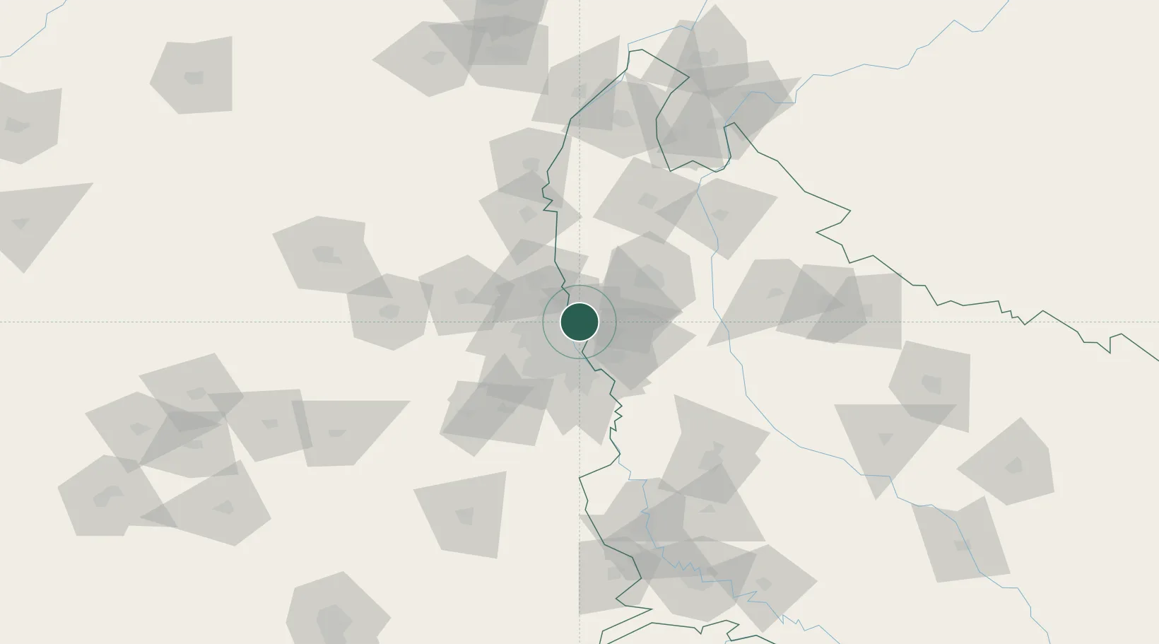
Nearby Logistics Neighbours

Cities
  1. 1Loni5 km
  2. 2Patparganj13 km
  3. 3Sahibabad14 km
  4. 4Ghaziabad17 km
  5. 5New Delhi19 km
Nearest neighbours — logibook spatial index (haversine) over the source coordinates
Ports
  1. 1Dahej918 km
  2. 2Bhavnagar928 km
  3. 3Navlakhi939 km
  4. 4Kandla950 km
  5. 5Magdalla961 km
Nearest neighbours — logibook spatial index (haversine) over the source coordinates
Airports
  1. 1Hindon Airport / Hindon Air Force Station9 km
  2. 2Safdarjung Airport20 km
  3. 3Indira Gandhi International Airport28 km
  4. 4Noida International Airport71 km
  5. 5Aligarh Airport130 km
Nearest neighbours — logibook spatial index (haversine) over the source coordinates
Trade Zones
  1. 1Parsvnath Developers Limited9 km
  2. 2Genpact Infrastructure (Jaipur) Private Limited9 km
  3. 3Agro & Food Processing Special Economic Zone14 km
  4. 4Anant Raj Industries, IT Park Rai18 km
  5. 5Ansal IT City and Parks Limited22 km
Nearest neighbours — logibook spatial index (haversine) over the source coordinates
DatabookThe Record of Consolidated Knowledge
India beyond logistics?
Browse databook

All Sources

LocationsUN/LOCODE
UN/LOCODE — free
Portsthe NGA World Port Index
Public domain (US gov)
AirportsOurAirports
Public domain
Trade Zonesthe World Bank SEZ database
CC BY 4.0
Trade ZonesOpen Zone Map
CC BY
← India locations