UN/LOCODE hub · India
INTKD

Tughlakabad

28.5000°, 77.2667°
3
Transport functions

Transport Functions

Rail
Road
Multimodal
UN/LOCODE

Hub Profile

Place type
Populated place
GeoNames
Region
Delhi
GeoNames
Time zone
Asia/Kolkata
GeoNames
Elevation
242 m
GeoNames

Location

Location of INTKD
Natural Earth 10m (public domain) · Delhi · INTKD · 28.50, 77.27GoogleOSMYandex

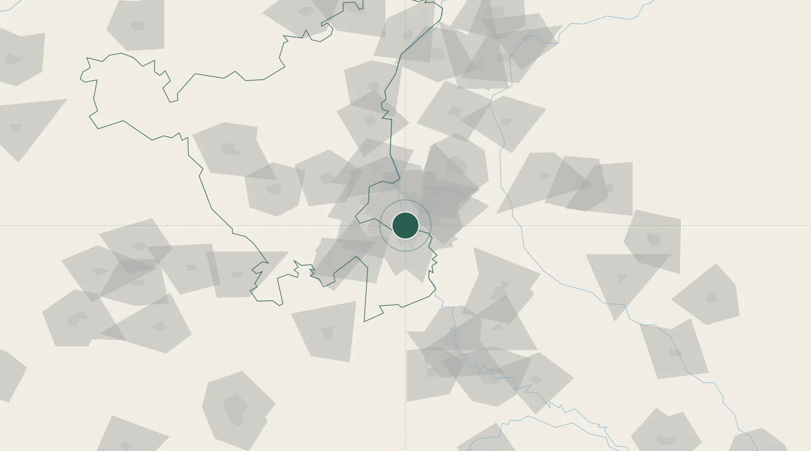
Nearby Logistics Neighbours

Cities
  1. 1New Delhi13 km
  2. 2Greater Noida15 km
  3. 3Faridabad15 km
  4. 4Patparganj16 km
  5. 5Concor-ICD/Ballabhgarh17 km
Nearest neighbours — logibook spatial index (haversine) over the source coordinates
Ports
  1. 1Dahej894 km
  2. 2Bhavnagar904 km
  3. 3Navlakhi920 km
  4. 4Kandla931 km
  5. 5Magdalla936 km
Nearest neighbours — logibook spatial index (haversine) over the source coordinates
Airports
  1. 1Safdarjung Airport11 km
  2. 2Indira Gandhi International Airport18 km
  3. 3Hindon Airport / Hindon Air Force Station25 km
  4. 4Noida International Airport49 km
  5. 5Aligarh Airport112 km
Nearest neighbours — logibook spatial index (haversine) over the source coordinates
Trade Zones
  1. 1Dr. Fresh Healthcare Pvt. Ltd.3 km
  2. 2Espire Infrastructure Corporation Limited4 km
  3. 3Ansal IT City and Parks Limited7 km
  4. 4Hcl Technologies8 km
  5. 5Unitech Realty Projects Ltd.9 km
Nearest neighbours — logibook spatial index (haversine) over the source coordinates
DatabookThe Record of Consolidated Knowledge
India beyond logistics?
Browse databook

All Sources

LocationsUN/LOCODE
UN/LOCODE — free
Portsthe NGA World Port Index
Public domain (US gov)
AirportsOurAirports
Public domain
Trade Zonesthe World Bank SEZ database
CC BY 4.0
Trade ZonesOpen Zone Map
CC BY
← India locations