Free Trade Zone · Equatorial Guinea

Puerto de Bata Free Port Active
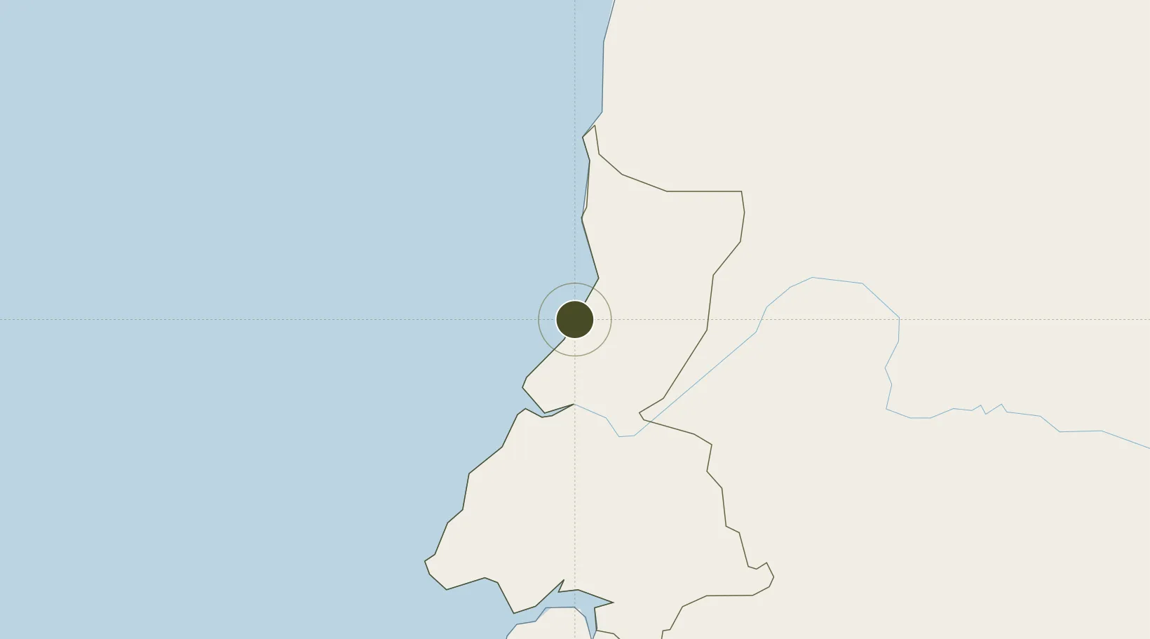
1.8248°, 9.7468°
1,700 ha
Zone area
5.2 km
Nearest port
11.1 km
Nearest airport

Gateway access

Nearest neighbours — logibook spatial index (haversine) over the source coordinates

Zone profile

Zone type
Free Trade Zone
Open Zone Map
Region
Litoral
Open Zone Map
Status
Active
Open Zone Map
Management
Public
Open Zone Map
Operator
Equatorial Guinea Port Administration
Open Zone Map
Legal framework
Decree 72/2018 of April 2018 on Foreign Investment
Open Zone Map

Location

Location of ozm-1892
Natural Earth 10m (public domain) · Litoral · ozm-1892 · 1.82, 9.75GoogleOSMYandex

Nearby Logistics Neighbours

Ports
  1. 1Bata5 km
  2. 2Cogo83 km
  3. 3Ebome Marine Terminal109 km
  4. 4Kome Kribi 1 Marine Terminal122 km
  5. 5Libreville164 km
Nearest neighbours — logibook spatial index (haversine) over the source coordinates
Airports
  1. 1Bata International Airport11 km
  2. 2Corisco International Airport112 km
  3. 3President Obiang Nguema International Airport143 km
  4. 4Libreville Leon M'ba International Airport156 km
  5. 5Bitam Airport196 km
Nearest neighbours — logibook spatial index (haversine) over the source coordinates
Cities
  1. 1Bata1 km
  2. 2Kribi101 km
  3. 3Ebomé Terminal109 km
  4. 4Mayumba142 km
  5. 5Libreville170 km
Nearest neighbours — logibook spatial index (haversine) over the source coordinates
Trade Zones
  1. 1Port of Kribi Economic Zone125 km
  2. 2Gabon New International Airport Free Zone156 km
  3. 3Nkok Special Economic Zone161 km
  4. 4Owendo Mineral Port173 km
  5. 5Luba Freeport224 km
Nearest neighbours — logibook spatial index (haversine) over the source coordinates
DatabookThe Record of Consolidated Knowledge
Equatorial Guinea beyond logistics?
Browse databook

All Sources

Trade ZonesOpen Zone Map
CC BY
Portsthe NGA World Port Index
Public domain (US gov)
AirportsOurAirports
Public domain
LocationsUN/LOCODE
UN/LOCODE — free
← Equatorial Guinea trade zones