Seaport · Cameroon
Kome Kribi 1 Marine TerminalCMKBI
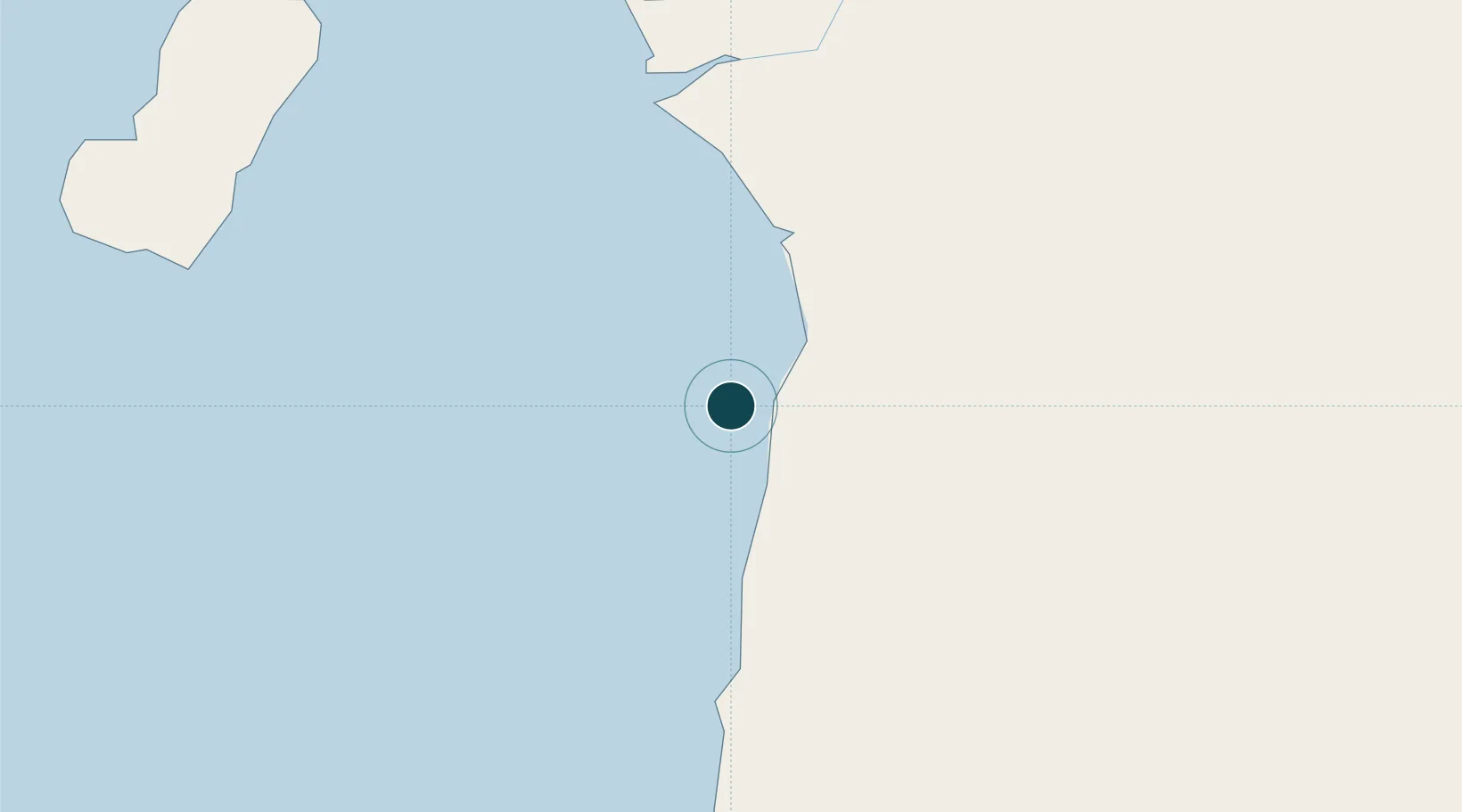
2.9167°, 9.8000°
1
Container terminals
165.1
Port liner connectivity
Channel & Berth Profile
Pilotage, Tugs & Services
Pilotage compulsoryYES
Pilotage availableYES
Tug assistanceYES
Potable waterNO
Diesel bunkersNO
MedicalYES
Facilities & Capabilities
Container—
Ro-Ro—
Liquid bulk—
Dry bulk—
Oil terminal—
Break bulk—
Dry dock—
RepairsNO
BunkeringNO
Rail link—
Dangerous cargo—
ISPS security—
Harbour Specifications
Harbour size
Very Small
Harbour type
Open Roadstead
Shelter
Poor
Water body
Gulf of Guinea; North Atlantic Ocean
Tidal range
1.7 m
Pilotage
Yes
Liner Connectivity
165.1
PLSCI
Port Liner Shipping Connectivity Index for Kome Kribi 1 Marine Terminal, as published by UNCTAD for the latest available quarter. Higher values indicate stronger scheduled liner-shipping integration.
Shown relative to the highest per-port PLSCI in the dataset (1,657.9).
Location
Container Terminals · 1
KRIBI CONTAINER TERMINAL
KCT
Nearby Logistics Neighbours
Ports
- 1Ebome Marine Terminal13 km
- 2Bata117 km
- 3Douala127 km
- 4Limboh Terminal139 km
- 5Malabo146 km
Cities
- 1Ebomé Terminal13 km
- 2Mayumba54 km
- 3Edéa101 km
- 4Bata122 km
- 5Douala125 km
Airports
- 1Bata International Airport112 km
- 2Douala International Airport122 km
- 3Tiko Airport139 km
- 4Malabo International Airport153 km
- 5President Obiang Nguema International Airport194 km
Trade Zones
- 1Port of Kribi Economic Zone12 km
- 2Puerto de Bata Free Port122 km
- 3Bassa-Douala Industrial Zone124 km
- 4Bonaberi-Douala Industrial Zone129 km
- 5Luba Freeport150 km
DatabookThe Record of Consolidated Knowledge
Cameroon beyond logistics?